


Gloggnitz-Kranichberg-Raach am Hochgeb.-Kummerbauerstadl-
Alpkogelhütte-Feistritzsattel-Wetterkoglerhaus (Hochwechsel)-
Vorauer Schwaig-Mönichkirchen-Aspang
Anflug von Transalp-Feeling! Herrliche trails, allerdings auch mit einigen Schiebepassagen.
Eine äußerst lohnenswerte Tour!
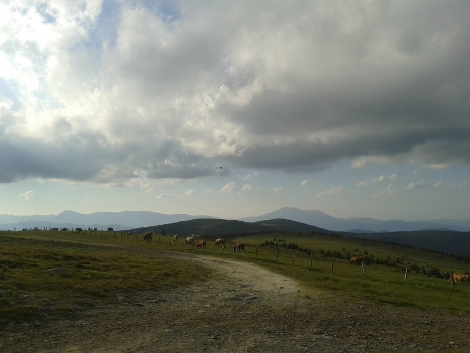
Галерея маршрутов


Карта маршрута и высотный профиль
Minimum height 417 m
Maximum height 1743 m
More about the tour author
|
|
mitter |
Комментарии

Anfahrt mit dem Zug nach Gloggnitz. Rückfahrt wieder mit dem Zug von Aspang.
GPS-Tracks
Trackpoints-
GPX / Garmin Map Source (gpx) download
-
TCX / Garmin Training Center® (tcx) download
-
CRS / Garmin Training Center® (crs) download
-
Google Earth (kml) download
-
G7ToWin (g7t) download
-
TTQV (trk) download
-
Overlay (ovl) download
-
Fugawi (txt) download
-
Kompass (DAV) Track (tk) download
-
Формуляр маршрута (pdf) download
-
Original file of the author (gpx) download
More about the tour author
|
|
mitter |
Add to my favorites
Remove from my favorites
Edit tags
Open track
My score
Rate