Login

Забыл пароль?

Cookies have to be accepted!
Your browser's cookie functionality is disabled. Please enable this functionality.

Not a member yet?

Register now
Login

Available for registred users only

Log in to use this feature.

Забыл пароль?

Cookies have to be accepted!
Your browser's cookie functionality is disabled. Please enable this functionality.

Not a member yet?

Register now
Filter
Категории
Advanced filters
  • Длина (км)
  • Высотомер
Сохранить фильтр Reset filter

TrackRank

QRCode

Technical data

Длина6,4 km Высотомер146 m Way down79 m Длительность01:20 h:m Дата02.07.2014
Оценки Author Ландшафт Веселье Кондиция Техника

Статистика

437 Виды Оценки 78 Загрузки Среднее
Rate
  • Формуляр маршрута
  • Дорога
  • Загрузки

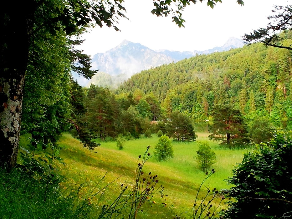
Kleine Feierabendrunde nach einem total verregneten Urlaubstag. Dafür Abendsonne pur.

Die Runde kannst Du bis zum Alatsee um drei km  erweitern. 

Галерея маршрутов

Карта маршрута и высотный профиль

  • Open Street Map
  • Google
Minimum height 736 m Maximum height 865 m Детальный вид

More about the tour author

radrolle48
Member since 2009

Send private message

Комментарии

GPS-Tracks

Trackpoints
  • GPX / Garmin Map Source (gpx) download
  • TCX / Garmin Training Center® (tcx) download
  • CRS / Garmin Training Center® (crs) download
  • Google Earth (kml) download
  • G7ToWin (g7t) download
  • TTQV (trk) download
  • Overlay (ovl) download
  • Fugawi (txt) download
  • Kompass (DAV) Track (tk) download
  • Формуляр маршрута (pdf) download
  • Original file of the author (gpx) download

More about the tour author

radrolle48
Member since 2009

Send private message
Share track
Add to my favorites
Remove from my favorites
Edit tags
My score
Rate
Маршрут: Füssen - Tal der Sinne
Вид: Пешеходный туризм
Длина: 6,4 km
Evaluated on:
Длительность:
Day(s)
Hour(s)
Minute(s)
Оценка: Ландшафт Веселье Кондиция Техника