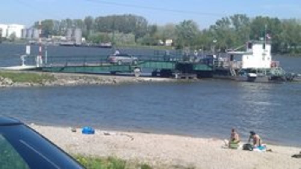
Die Tour beginnt in Wien Donaustadt und führt zum Marchfeldkanalradweg. Entlang dem Radweg bis zum Bisamberg. Übern Bisamberg führt die Tour nach Korneuburg zur Rollfähre. Von dort auf der linken Donauseite bis zum Roten Hiasl und dann wieder nach Wien Donaustadt.
Карта маршрута и высотный профиль
Minimum height 133 m
Maximum height 346 m
Комментарии

GPS-Tracks
Trackpoints-
GPX / Garmin Map Source (gpx) download
-
TCX / Garmin Training Center® (tcx) download
-
CRS / Garmin Training Center® (crs) download
-
Google Earth (kml) download
-
G7ToWin (g7t) download
-
TTQV (trk) download
-
Overlay (ovl) download
-
Fugawi (txt) download
-
Kompass (DAV) Track (tk) download
-
Формуляр маршрута (pdf) download
-
Original file of the author (gpx) download
Add to my favorites
Remove from my favorites
Edit tags
Open track
My score
Rate


