Login

Забыл пароль?

Cookies have to be accepted!
Your browser's cookie functionality is disabled. Please enable this functionality.

Not a member yet?

Register now
Login

Available for registred users only

Log in to use this feature.

Забыл пароль?

Cookies have to be accepted!
Your browser's cookie functionality is disabled. Please enable this functionality.

Not a member yet?

Register now
Filter
Категории
Advanced filters
  • Длина (км)
  • Высотомер
Сохранить фильтр Reset filter

TrackRank

QRCode

Technical data

Длина64,5 km Высотомер1364 m Way down1672 m Длительность05:40 h:m Дата20.07.2014
Оценки Author Ландшафт Веселье Кондиция Техника

Статистика

169 Виды Оценки 12 Загрузки Среднее
Rate
  • Формуляр маршрута
  • Дорога
  • Загрузки

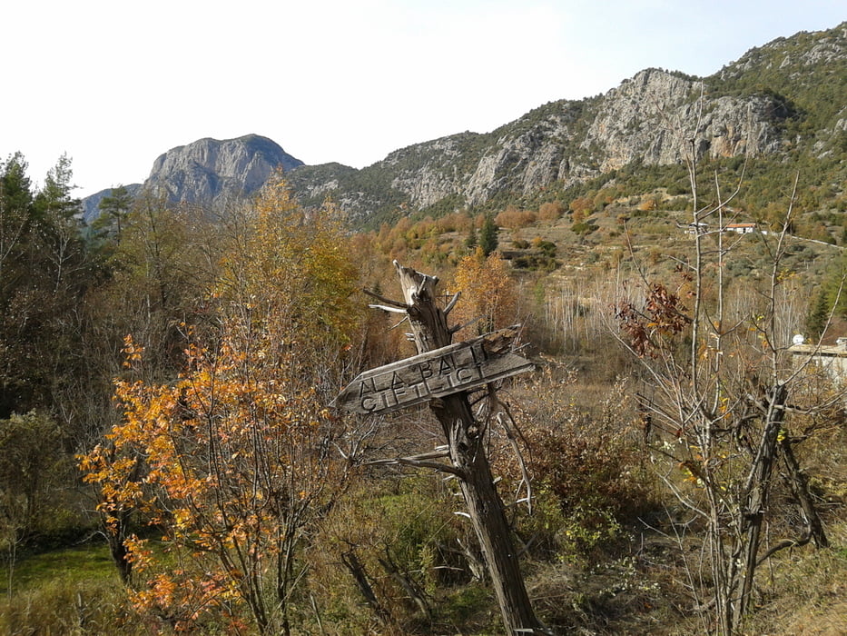
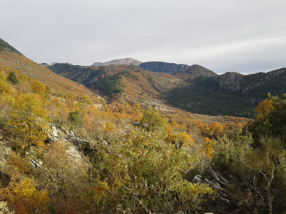
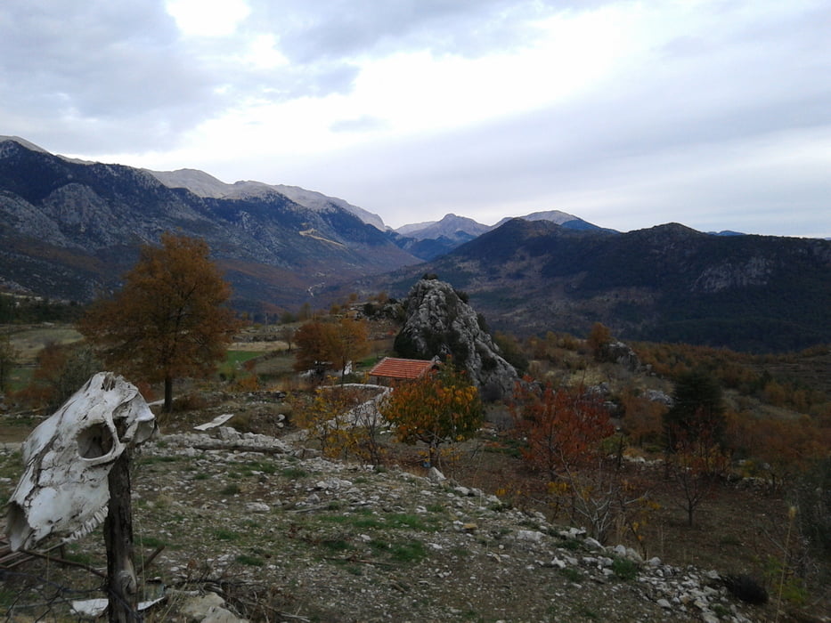
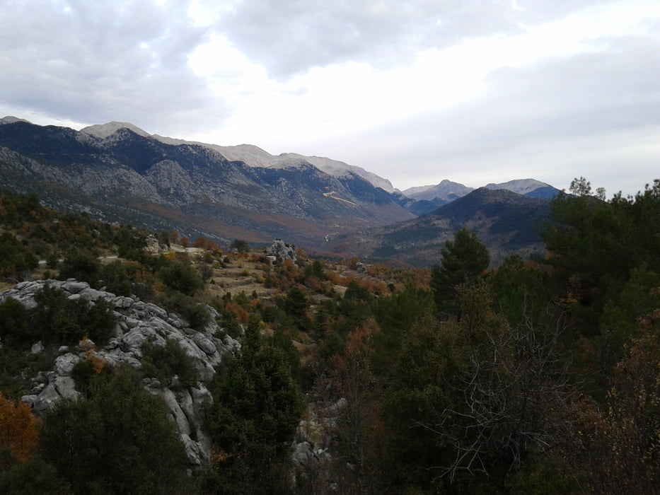
Große und abwechslungsreiche Runde mit viel Aussicht.

Wege: Gute Schotterstraßen bis km 19, Rest Asfalt.

Verkehr: Ab km 51,7 mittleres Verkehrsaufkommen, ist aber schnell vorbei, weil meist nur noch bergab.


Галерея маршрутов

Карта маршрута и высотный профиль

  • Open Street Map
  • Google
Minimum height 314 m Maximum height 1127 m Детальный вид

More about the tour author

jue52
Member since 2011

Send private message

Комментарии

Am einfachsten mit dem Auto auf D695.


GPS-Tracks

Trackpoints
  • GPX / Garmin Map Source (gpx) download
  • TCX / Garmin Training Center® (tcx) download
  • CRS / Garmin Training Center® (crs) download
  • Google Earth (kml) download
  • G7ToWin (g7t) download
  • TTQV (trk) download
  • Overlay (ovl) download
  • Fugawi (txt) download
  • Kompass (DAV) Track (tk) download
  • Формуляр маршрута (pdf) download
  • Original file of the author (gpx) download

More about the tour author

jue52
Member since 2011

Send private message
Share track
Add to my favorites
Remove from my favorites
Edit tags
My score
Rate
Маршрут: Osman Dagi 1.12.13
Вид: Горный велосипед
Длина: 64,5 km
Evaluated on:
Длительность:
Day(s)
Hour(s)
Minute(s)
Оценка: Ландшафт Веселье Кондиция Техника