Login

Забыл пароль?

Cookies have to be accepted!
Your browser's cookie functionality is disabled. Please enable this functionality.

Not a member yet?

Register now
Login

Available for registred users only

Log in to use this feature.

Забыл пароль?

Cookies have to be accepted!
Your browser's cookie functionality is disabled. Please enable this functionality.

Not a member yet?

Register now
Filter
Категории
Advanced filters
  • Длина (км)
  • Высотомер
Сохранить фильтр Reset filter

TrackRank

QRCode

Technical data

Длина79,7 km Высотомер1352 m Way down2686 m Длительность00:00 h:m Дата21.07.2014
Оценки Author Ландшафт Веселье Кондиция Техника

Статистика

394 Виды Оценки 67 Загрузки Среднее
Rate
  • Формуляр маршрута
  • Дорога
  • Загрузки

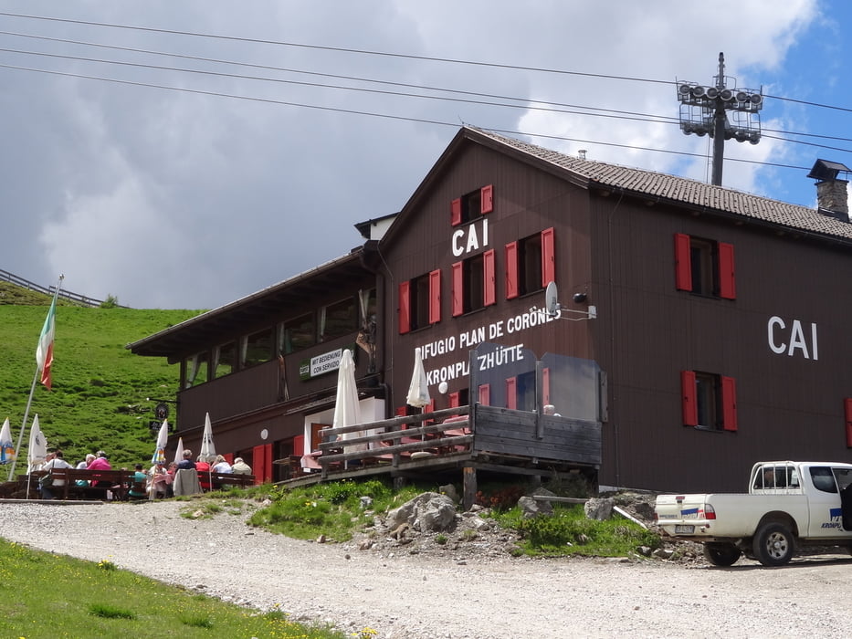
Nach einen guten Frühstück auf der Faneshütte gehts hinaus nach St Vigil und dann hinauf auf den Kronplatz und hinunter nach Bruneck und das Pustertal hinaus bis nach Franzensfeste


Галерея маршрутов

Карта маршрута и высотный профиль

  • Open Street Map
  • Google
Minimum height 721 m Maximum height 2248 m Детальный вид

More about the tour author

Georg23
Member since 2010

Send private message

Комментарии

GPS-Tracks

Trackpoints
  • GPX / Garmin Map Source (gpx) download
  • TCX / Garmin Training Center® (tcx) download
  • CRS / Garmin Training Center® (crs) download
  • Google Earth (kml) download
  • G7ToWin (g7t) download
  • TTQV (trk) download
  • Overlay (ovl) download
  • Fugawi (txt) download
  • Kompass (DAV) Track (tk) download
  • Формуляр маршрута (pdf) download
  • Original file of the author (gpx) download

More about the tour author

Georg23
Member since 2010

Send private message
Share track
Add to my favorites
Remove from my favorites
Edit tags
My score
Rate
Маршрут: von der Faneshütte zum Kronplatz dann ins Pustertal
Вид: Горный велосипед
Длина: 79,7 km
Evaluated on:
Длительность:
Day(s)
Hour(s)
Minute(s)
Оценка: Ландшафт Веселье Кондиция Техника