
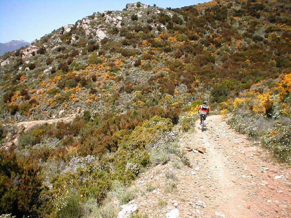

BIKE TREKKING: vari tratti da spingere sia in salita che in discesa. Sentieri spesso sassosi e franosi, MOLTO MOLTO MOLTO DIFFICILI, assolutamente non per tutti. CONSIGLIATA FULL 29 DA ALMENO 120 MM. Se non conoscete la spiaggia di fonza fermatevi anche li. E' assolutamente spettacolare, tipo le seychelles! Bellissima e sopratutto vicinissima alla fine la spiaggia di laconella. Percorso di mountain bike su sentieri per trekking a piedi.
Галерея маршрутов


Карта маршрута и высотный профиль
Minimum height 10 m
Maximum height 375 m
More about the tour author

|
mikyross |
Комментарии

italy toscana livorno isola d'elba capoliveri lacona. spiazzo per parcheggiare poco prima della salita del monumento sulla destra arrivando da lacona.
GPS-Tracks
Trackpoints-
GPX / Garmin Map Source (gpx) download
-
TCX / Garmin Training Center® (tcx) download
-
CRS / Garmin Training Center® (crs) download
-
Google Earth (kml) download
-
G7ToWin (g7t) download
-
TTQV (trk) download
-
Overlay (ovl) download
-
Fugawi (txt) download
-
Kompass (DAV) Track (tk) download
-
Формуляр маршрута (pdf) download
-
Original file of the author (gpx) download
More about the tour author
|
|
mikyross |
Add to my favorites
Remove from my favorites
Edit tags
Open track
My score
Rate