Login

Забыл пароль?

Cookies have to be accepted!
Your browser's cookie functionality is disabled. Please enable this functionality.

Not a member yet?

Register now
Login

Available for registred users only

Log in to use this feature.

Забыл пароль?

Cookies have to be accepted!
Your browser's cookie functionality is disabled. Please enable this functionality.

Not a member yet?

Register now
Filter
Категории
Advanced filters
  • Длина (км)
  • Высотомер
Сохранить фильтр Reset filter

TrackRank

QRCode

Technical data

Длина6,7 km Высотомер382 m Way down379 m Длительность02:22 h:m Дата28.07.2014
Оценки Author Ландшафт Веселье Кондиция Техника

Статистика

395 Виды Оценки 64 Загрузки Среднее
Rate
  • Формуляр маршрута
  • Дорога
  • Загрузки

Sehr schöne Tour, auch mit Kindern gut machbar und bestimmt nicht langweilig.


Wir haben am Kalterersee am Strandbad geparkt, Kleingeld bereithalten, denn geldwechseln ist nicht einfach...
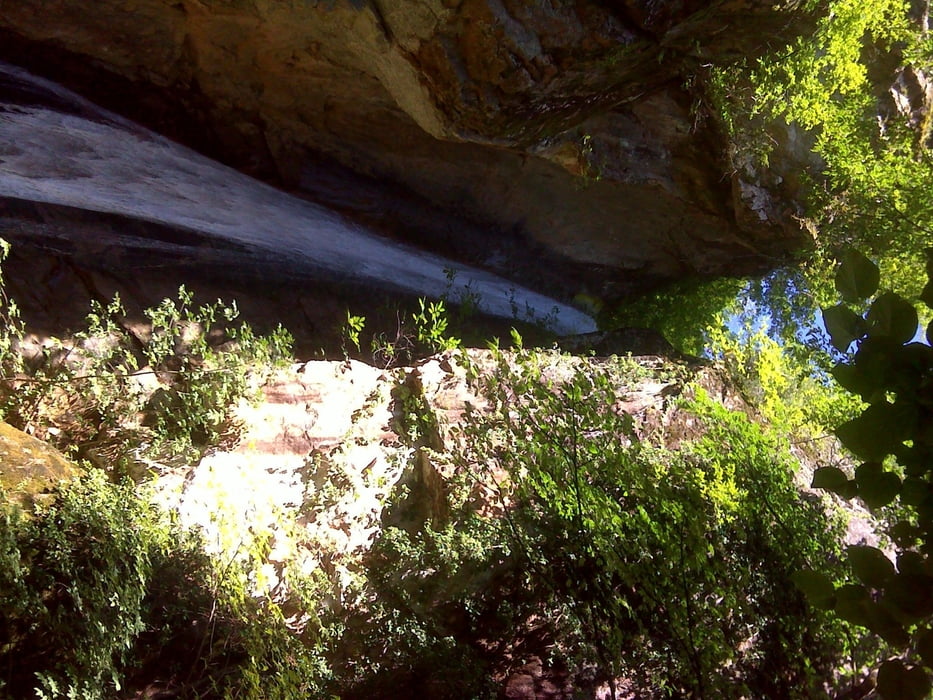
 

Галерея маршрутов

Карта маршрута и высотный профиль

  • Open Street Map
  • Google
Minimum height 236 m Maximum height 620 m Детальный вид

More about the tour author

SuchdenFlow
Member since 2011

Send private message

Комментарии

GPS-Tracks

Trackpoints
  • GPX / Garmin Map Source (gpx) download
  • TCX / Garmin Training Center® (tcx) download
  • CRS / Garmin Training Center® (crs) download
  • Google Earth (kml) download
  • G7ToWin (g7t) download
  • TTQV (trk) download
  • Overlay (ovl) download
  • Fugawi (txt) download
  • Kompass (DAV) Track (tk) download
  • Формуляр маршрута (pdf) download
  • Original file of the author (tcx) download

More about the tour author

SuchdenFlow
Member since 2011

Send private message
Share track
Add to my favorites
Remove from my favorites
Edit tags
My score
Rate
Маршрут: Rastenbachklamm
Вид: Пешеходный туризм
Длина: 6,7 km
Evaluated on:
Длительность:
Day(s)
Hour(s)
Minute(s)
Оценка: Ландшафт Веселье Кондиция Техника