Login

Забыл пароль?

Cookies have to be accepted!
Your browser's cookie functionality is disabled. Please enable this functionality.

Not a member yet?

Register now
Login

Available for registred users only

Log in to use this feature.

Забыл пароль?

Cookies have to be accepted!
Your browser's cookie functionality is disabled. Please enable this functionality.

Not a member yet?

Register now
Filter
Категории
Advanced filters
  • Длина (км)
  • Высотомер
Сохранить фильтр Reset filter

TrackRank

QRCode

Technical data

Длина38,3 km Высотомер998 m Way down983 m Длительность02:30 h:m Дата31.07.2014
Оценки Author User Ландшафт Веселье Кондиция Техника

Статистика

428 Виды 1 Оценка 67 Загрузки 5.00 Среднее
Rate
  • Формуляр маршрута
  • Дорога
  • Загрузки

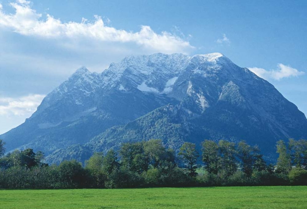
Aigen - Aicherlkar - Spechtensee - Leistenalm - Sallaberg - Kulm - Aigen

Fahrzeit je nach Kondition zwischen ca. 2h15min und 3h15min

Карта маршрута и высотный профиль

  • Open Street Map
  • Google
Minimum height 641 m Maximum height 1216 m Детальный вид

More about the tour author

tit15
Member since 2014

Send private message

Комментарии

GPS-Tracks

Trackpoints
  • GPX / Garmin Map Source (gpx) download
  • TCX / Garmin Training Center® (tcx) download
  • CRS / Garmin Training Center® (crs) download
  • Google Earth (kml) download
  • G7ToWin (g7t) download
  • TTQV (trk) download
  • Overlay (ovl) download
  • Fugawi (txt) download
  • Kompass (DAV) Track (tk) download
  • Формуляр маршрута (pdf) download
  • Original file of the author (gpx) download

More about the tour author

tit15
Member since 2014

Send private message
Share track
Add to my favorites
Remove from my favorites
Edit tags
My score
Rate
Маршрут: Aigen im Ennstal - Spechtensee
Вид: Горный велосипед
Длина: 38,3 km
Evaluated on:
Длительность:
Day(s)
Hour(s)
Minute(s)
Оценка: Ландшафт Веселье Кондиция Техника