Login

Забыл пароль?

Cookies have to be accepted!
Your browser's cookie functionality is disabled. Please enable this functionality.

Not a member yet?

Register now
Login

Available for registred users only

Log in to use this feature.

Забыл пароль?

Cookies have to be accepted!
Your browser's cookie functionality is disabled. Please enable this functionality.

Not a member yet?

Register now
Filter
Категории
Advanced filters
  • Длина (км)
  • Высотомер
Сохранить фильтр Reset filter

TrackRank

QRCode

Technical data

Длина9,0 km Высотомер537 m Way down356 m Длительность02:00 h:m Дата12.08.2014
Оценки Author Ландшафт Веселье Кондиция Техника

Статистика

284 Виды Оценки 28 Загрузки Среднее
Rate
  • Формуляр маршрута
  • Дорога
  • Загрузки

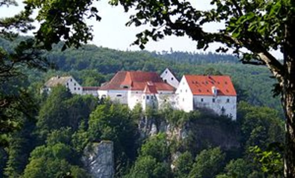
Von der Burg Wildenstein aus, den breiten geschotterten Forstweg westlich in einem großen bogen hinunter ins Donautal und dann vorbei am Donausteg entlang der Donau nach Hausen i.T. .


Карта маршрута и высотный профиль

  • Open Street Map
  • Google
Minimum height 415 m Maximum height 841 m Детальный вид

More about the tour author

Carl P
Member since 2008

Send private message

Комментарии

GPS-Tracks

Trackpoints
  • GPX / Garmin Map Source (gpx) download
  • TCX / Garmin Training Center® (tcx) download
  • CRS / Garmin Training Center® (crs) download
  • Google Earth (kml) download
  • G7ToWin (g7t) download
  • TTQV (trk) download
  • Overlay (ovl) download
  • Fugawi (txt) download
  • Kompass (DAV) Track (tk) download
  • Формуляр маршрута (pdf) download
  • Original file of the author (gpx) download

More about the tour author

Carl P
Member since 2008

Send private message
Share track
Add to my favorites
Remove from my favorites
Edit tags
My score
Rate
Маршрут: Burg Wildenstein - Hausen i.T.
Вид: Пешеходный туризм
Длина: 9,0 km
Evaluated on:
Длительность:
Day(s)
Hour(s)
Minute(s)
Оценка: Ландшафт Веселье Кондиция Техника