Login

Забыл пароль?

Cookies have to be accepted!
Your browser's cookie functionality is disabled. Please enable this functionality.

Not a member yet?

Register now
Login

Available for registred users only

Log in to use this feature.

Забыл пароль?

Cookies have to be accepted!
Your browser's cookie functionality is disabled. Please enable this functionality.

Not a member yet?

Register now
Filter
Категории
Advanced filters
  • Длина (км)
  • Высотомер
Сохранить фильтр Reset filter

TrackRank

QRCode

Technical data

Длина70,9 km Высотомер219 m Way down220 m Длительность00:00 h:m Дата12.08.2014
Оценки Author Ландшафт Веселье Кондиция Техника

Статистика

281 Виды Оценки 26 Загрузки Среднее
Rate
  • Формуляр маршрута
  • Дорога
  • Загрузки
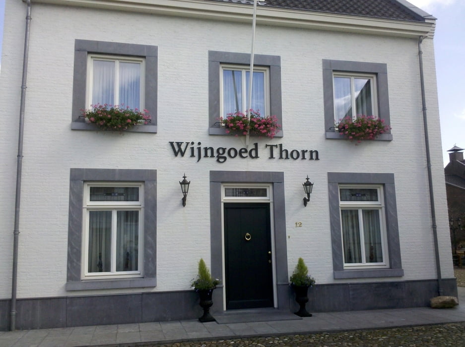
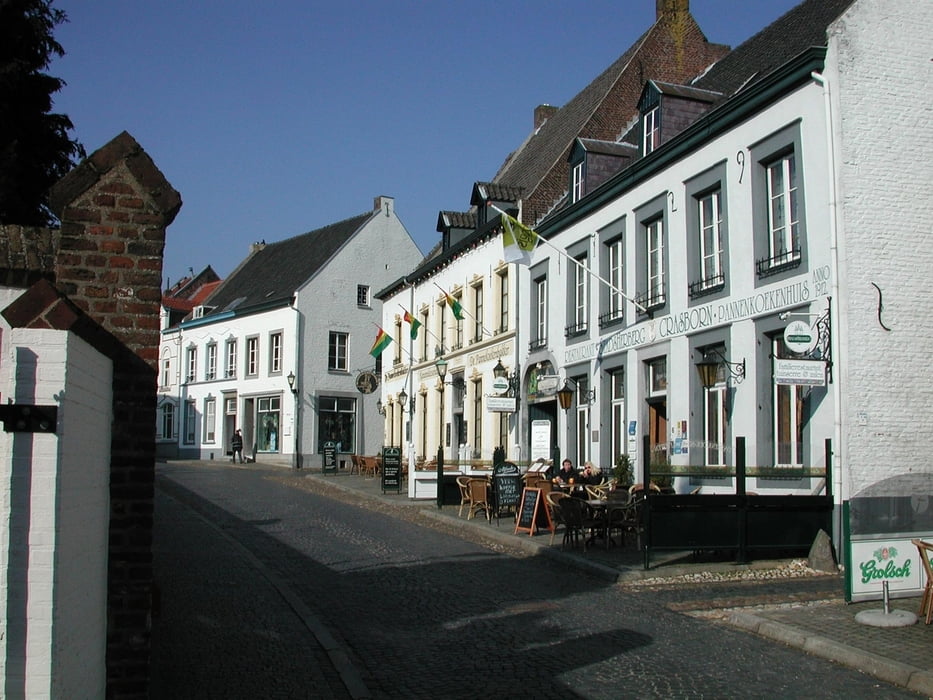
Von Dalheim erreicht man nach wenigen 100 Metern niederländisches Gebiet. Über Vlodrop Station, Sint Odilienberg und vorbei an Roermond geht es nach Thorn „het witte stadje“. Von dort zurück nach Vlodrop und über die Grenze zum Bahnhof Dalheim.

Галерея маршрутов

Карта маршрута и высотный профиль

  • Open Street Map
  • Google
Minimum height 19 m Maximum height 86 m Детальный вид

More about the tour author

Velo-Oldie
Member since 2009

Send private message

Комментарии

GPS-Tracks

Trackpoints
  • GPX / Garmin Map Source (gpx) download
  • TCX / Garmin Training Center® (tcx) download
  • CRS / Garmin Training Center® (crs) download
  • Google Earth (kml) download
  • G7ToWin (g7t) download
  • TTQV (trk) download
  • Overlay (ovl) download
  • Fugawi (txt) download
  • Kompass (DAV) Track (tk) download
  • Формуляр маршрута (pdf) download
  • Original file of the author (gpx) download

More about the tour author

Velo-Oldie
Member since 2009

Send private message
Share track
Add to my favorites
Remove from my favorites
Edit tags
My score
Rate
Маршрут: Dalheim (D) – Thorn (NL) – Dalheim (D)
Вид: Велосипедные маршруты
Длина: 70,9 km
Evaluated on:
Длительность:
Day(s)
Hour(s)
Minute(s)
Оценка: Ландшафт Веселье Кондиция Техника