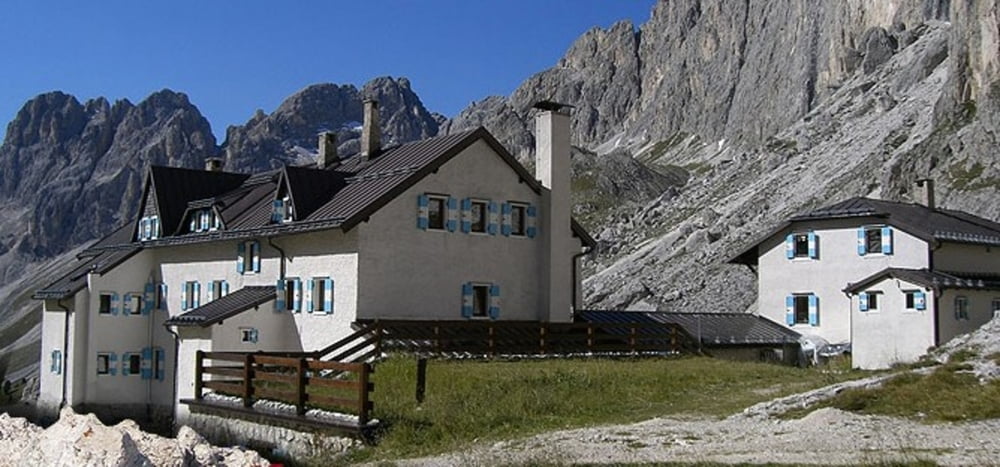
Il Rifugio si trova nella zona del Catinaccio sotto le Torri del Vajolet, al centro di numerose camminate, escursioni e vie attrezzate.Una comoda escursione parte dal Ciampedie (raggiungibile con la funivia da Vigo di Fassa) di qui si prende il sentiero discendente verso Gardeccia (segnavia numero 540). Piacevole passeggiata nel bosco con un serie intelligente di quadri informativi. Da Gardeccia prendere il sentiero numero 546 che con alcuni strappi porta al rifugio Vaiolet. Panorama davvero invidiabile. Di qui si può scendere per la stesso sentiero fino a Gardeccia. Quindi è possibile utilizzare la strada di servizio dei rifugi (interdetta al traffico privato) e scendere verso l'abitato di Moncion. Circa 800 metri prima della piccola frazione prendere il sentiero che porta all'abitato di Pera.
Further information at
http://rifugiovajolet.com/ita/Галерея маршрутов
Карта маршрута и высотный профиль
Комментарии

Vigo di Fassa è raggiungibile tramite la statale 48 delle Dolomiti sia da Cavalese che da Canazei.Parcheggiare l'auto nell'area riservata agli impianti Catinaccio.
GPS-Tracks
Trackpoints-
GPX / Garmin Map Source (gpx) download
-
TCX / Garmin Training Center® (tcx) download
-
CRS / Garmin Training Center® (crs) download
-
Google Earth (kml) download
-
G7ToWin (g7t) download
-
TTQV (trk) download
-
Overlay (ovl) download
-
Fugawi (txt) download
-
Kompass (DAV) Track (tk) download
-
Формуляр маршрута (pdf) download
-
Original file of the author (gpx) download


