


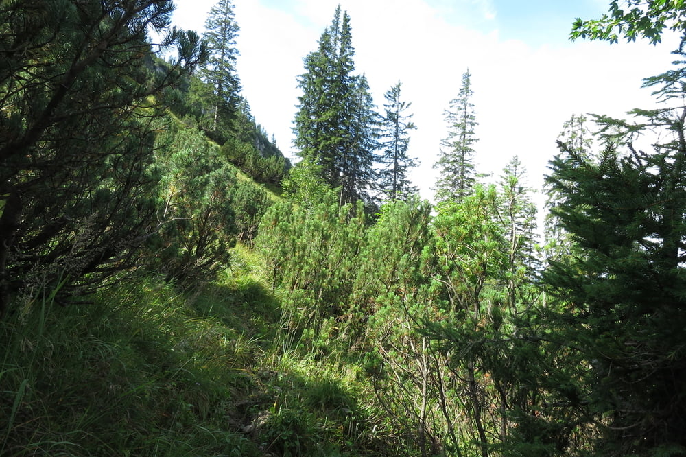
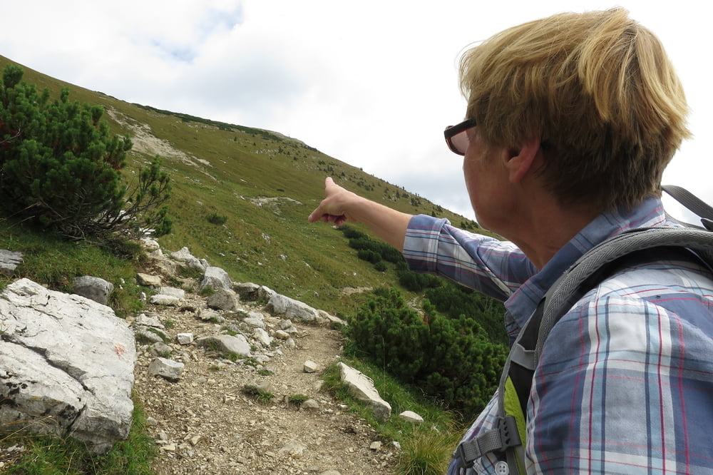
Einsame Bergtour aufs Hintere Sonnwendjoch.
Ausgangspunkt Wanderparkplatz ca. 300m vor dem Forsthaus Valepp.
Zum Parkplatz über die Mautstraße Enterrottach-Forsthaus Valepp (Tegernsee/Rottach-Egern).
Schmale und steile Bergpfade sowie Forststraßen und Almwege.
Aufstieg ca. 4 Std, Abstieg etwa 2,5 Std (Zeiten ohne Pausen).
Die Tour ist nach Regenfällen nicht zu empfehlen, da die Wege teilweise über Wiesen führen.
Галерея маршрутов


Карта маршрута и высотный профиль
Minimum height 878 m
Maximum height 1995 m
More about the tour author

|
wolli2009 |
Комментарии

Tegernsee-Rottach/Egern-Enterrottach-Forsthaus Valepp.
GPS-Tracks
Trackpoints-
GPX / Garmin Map Source (gpx) download
-
TCX / Garmin Training Center® (tcx) download
-
CRS / Garmin Training Center® (crs) download
-
Google Earth (kml) download
-
G7ToWin (g7t) download
-
TTQV (trk) download
-
Overlay (ovl) download
-
Fugawi (txt) download
-
Kompass (DAV) Track (tk) download
-
Формуляр маршрута (pdf) download
-
Original file of the author (gpx) download
More about the tour author
|
|
wolli2009 |
Add to my favorites
Remove from my favorites
Edit tags
Open track
My score
Rate