


Segeltörn in Kroation, im Archipel vor Zadar
1. Tag: Sukosan - Okto Zut
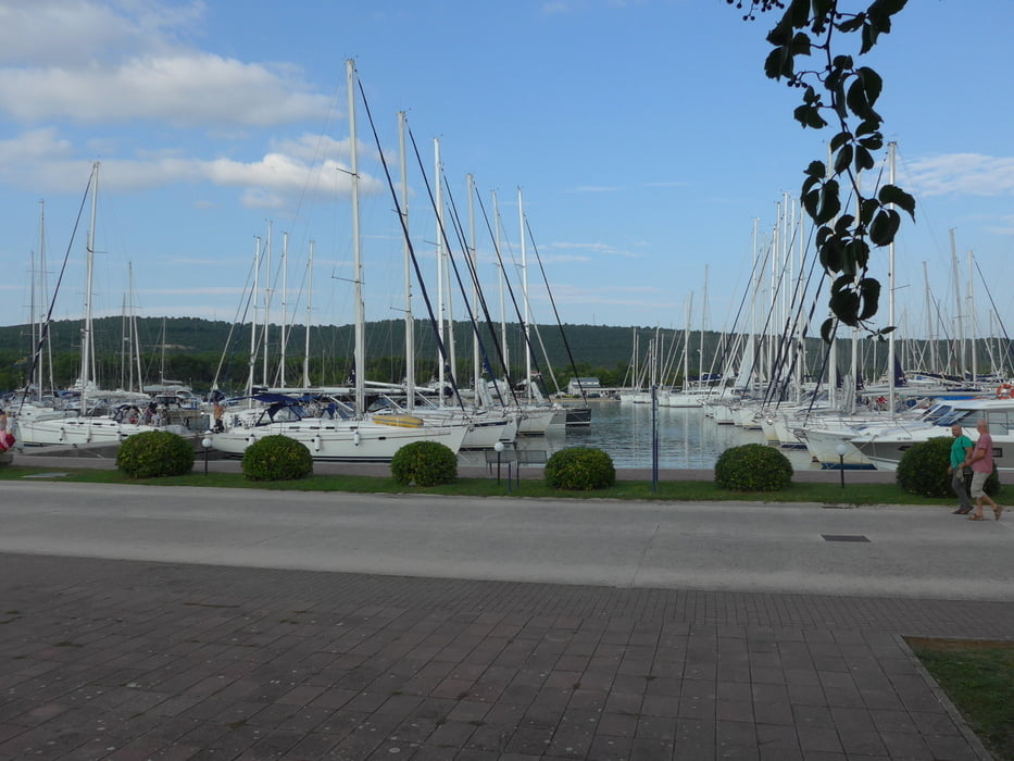
2. Tag: Otok Zut – Uglijan
http://www.gps-tour.info/de/touren/detail.135756.html
3. Tag: Uglijan - Okto Silba
http://www.gps-tour.info/de/touren/detail.135758.html
4 Tag: Okto Silba - Okto Molat
http://www.gps-tour.info/de/touren/detail.135760.html
5. Tag: Okto Molat - Okto Iz
http://www.gps-tour.info/de/touren/detail.135761.html
6. Tag Okto Iz – Sukosan
http://www.gps-tour.info/de/touren/detail.135762.html
Галерея маршрутов
Карта маршрута и высотный профиль
Minimum height -8 m
Maximum height 11 m
More about the tour author

|
ReKa0210 |
Комментарии

GPS-Tracks
Trackpoints-
GPX / Garmin Map Source (gpx) download
-
TCX / Garmin Training Center® (tcx) download
-
CRS / Garmin Training Center® (crs) download
-
Google Earth (kml) download
-
G7ToWin (g7t) download
-
TTQV (trk) download
-
Overlay (ovl) download
-
Fugawi (txt) download
-
Kompass (DAV) Track (tk) download
-
Формуляр маршрута (pdf) download
-
Original file of the author (gpx) download
More about the tour author
|
|
ReKa0210 |
Add to my favorites
Remove from my favorites
Edit tags
Open track
My score
Rate