Login

Забыл пароль?

Cookies have to be accepted!
Your browser's cookie functionality is disabled. Please enable this functionality.

Not a member yet?

Register now
Login

Available for registred users only

Log in to use this feature.

Забыл пароль?

Cookies have to be accepted!
Your browser's cookie functionality is disabled. Please enable this functionality.

Not a member yet?

Register now
Filter
Категории
Advanced filters
  • Длина (км)
  • Высотомер
Сохранить фильтр Reset filter

TrackRank

QRCode

Technical data

Длина55,9 km Высотомер1154 m Way down1113 m Длительность06:00 h:m Дата21.09.2014
Оценки Author Ландшафт Веселье Кондиция Техника

Статистика

515 Виды Оценки 90 Загрузки Среднее
Rate
  • Формуляр маршрута
  • Дорога
  • Загрузки


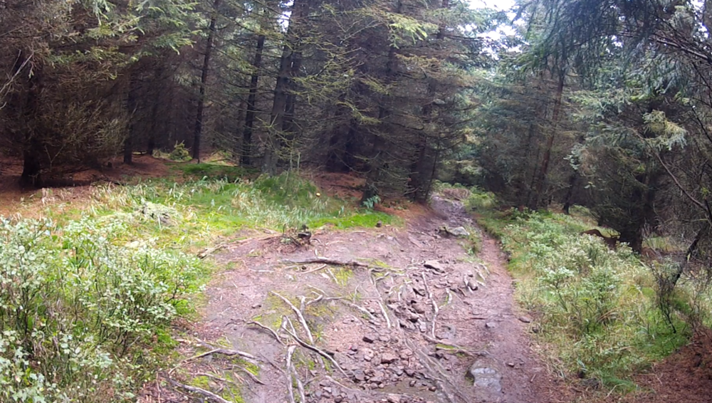
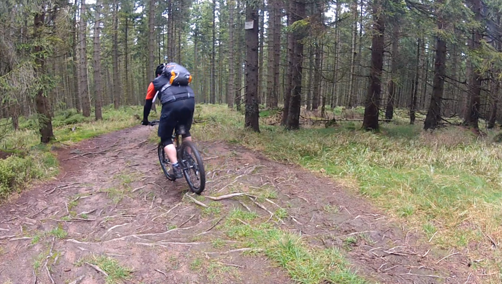
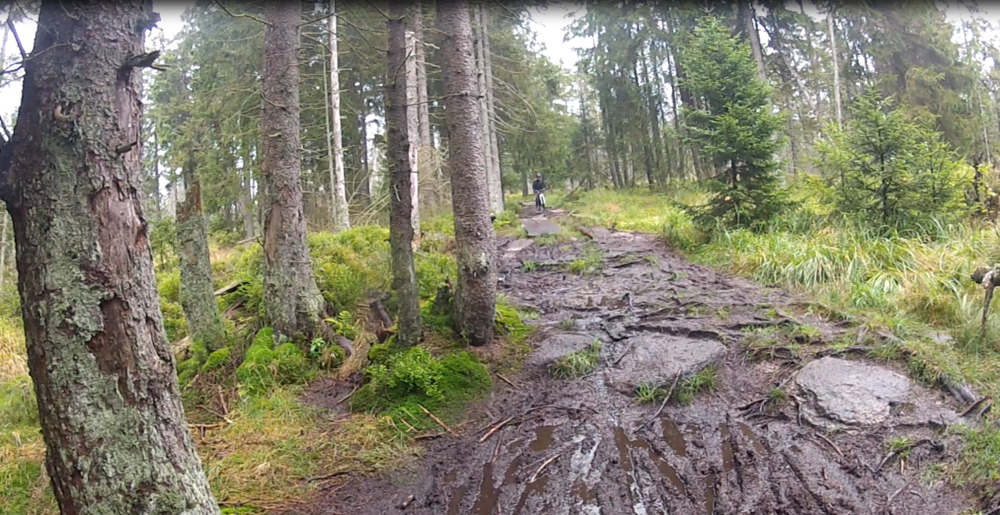
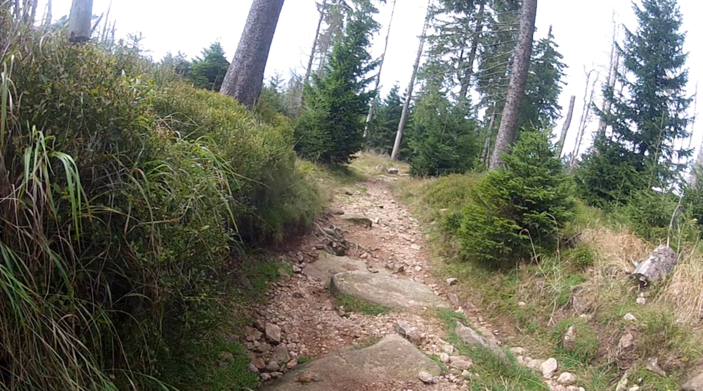
Eine sehr anspruchsvolle, bei Nässe, waghalsige Strecke. Ab und an sollte man besser absteigen. Ansonsten eine klasse Tour mit allen Facetten des MTB.

Галерея маршрутов

Карта маршрута и высотный профиль

  • Open Street Map
  • Google
Minimum height 515 m Maximum height 957 m Детальный вид

More about the tour author

R32Basti
Member since 2010

Send private message

Комментарии

GPS-Tracks

Trackpoints
  • GPX / Garmin Map Source (gpx) download
  • TCX / Garmin Training Center® (tcx) download
  • CRS / Garmin Training Center® (crs) download
  • Google Earth (kml) download
  • G7ToWin (g7t) download
  • TTQV (trk) download
  • Overlay (ovl) download
  • Fugawi (txt) download
  • Kompass (DAV) Track (tk) download
  • Формуляр маршрута (pdf) download
  • Original file of the author (gpx) download

More about the tour author

R32Basti
Member since 2010

Send private message
Share track
Add to my favorites
Remove from my favorites
Edit tags
My score
Rate
Маршрут: Hohegeiß-Braunlage-Schirke-Torfhaus
Вид: Горный велосипед
Длина: 55,9 km
Evaluated on:
Длительность:
Day(s)
Hour(s)
Minute(s)
Оценка: Ландшафт Веселье Кондиция Техника