
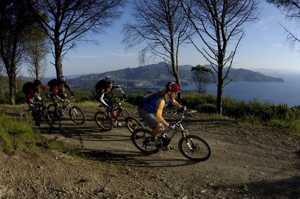

Il meglio che secondo me offre il capoliveribikepark in versione corta. Si fa il primo tratto seguendo il percorso ripa est, si sale per il single track per l'anello alto e poi si riscende per la cessa delle mimose, tecnicamente difficile. Da li si risale fino ad andare prendere la cessa dell'asta e il single track per l'inammorata. Cinque chilometri di veloce, tecnica panoramica e splendida discesa. Si passa dalla spiaggia dell'innammorata (bagno obbligatorio) e si risale fino al single track per le miniere. Si scende e si risale prima verso il museo della minera e poi in cima seguendo la sterrata della sardinia. Di qui si scende per la valle di fosco, spettacolare single track che riporta all'anelo basso e di qui al punto di partenza. Percorso da fare almeno una volta nella vita! imperdibile!
Галерея маршрутов


Карта маршрута и высотный профиль
Minimum height 11 m
Maximum height 389 m
More about the tour author

|
mikyross |
Комментарии

italia toscana livorno isola d'elba capoliveri capoliveribikepark
GPS-Tracks
Trackpoints-
GPX / Garmin Map Source (gpx) download
-
TCX / Garmin Training Center® (tcx) download
-
CRS / Garmin Training Center® (crs) download
-
Google Earth (kml) download
-
G7ToWin (g7t) download
-
TTQV (trk) download
-
Overlay (ovl) download
-
Fugawi (txt) download
-
Kompass (DAV) Track (tk) download
-
Формуляр маршрута (pdf) download
-
Original file of the author (gpx) download
More about the tour author
|
|
mikyross |
Add to my favorites
Remove from my favorites
Edit tags
Open track
My score
Rate