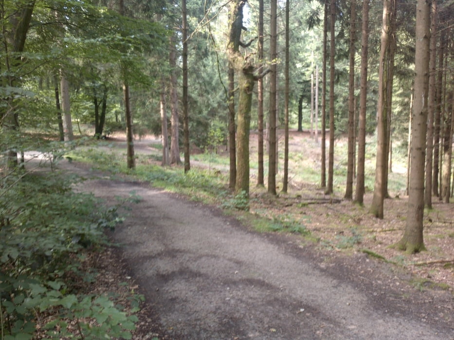
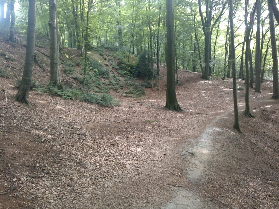
startpunt Horstel vanuit daar naar Tecklenburg en weer terug naar Horstel, deel van de route gaat via de Hermansweg. Hermanweg kun je aanhouden als herkenningspunt om de weg terug te vinden.
Zou wel op tijd beginnen om wandelaars zoveel mogelijk te vermijden.
Галерея маршрутов
Карта маршрута и высотный профиль
Minimum height 59 m
Maximum height 193 m
Комментарии
GPS-Tracks
Trackpoints-
GPX / Garmin Map Source (gpx) download
-
TCX / Garmin Training Center® (tcx) download
-
CRS / Garmin Training Center® (crs) download
-
Google Earth (kml) download
-
G7ToWin (g7t) download
-
TTQV (trk) download
-
Overlay (ovl) download
-
Fugawi (txt) download
-
Kompass (DAV) Track (tk) download
-
Формуляр маршрута (pdf) download
-
Original file of the author (gpx) download
Add to my favorites
Remove from my favorites
Edit tags
Open track
My score
Rate


Tour #136589
Schöne Tour
Schöne Aussicht und in der Nähe vom "hockenden Weib" eine nette Einkehrmöglichkeit in der Almhütte.