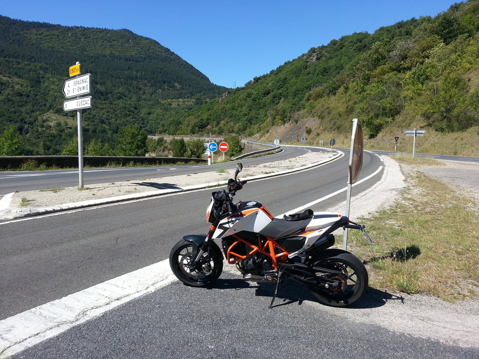
Man sollte die Strecke zweimal fahren. Einmal um sich die Landschaft anzusehen und einmal um die Kurven zu fahren. Hatte mich für die zweite Variante entschieden. Gefahren mit KTM Duke 690R
Карта маршрута и высотный профиль
Minimum height 114 m
Maximum height 1049 m
Комментарии

GPS-Tracks
Trackpoints-
GPX / Garmin Map Source (gpx) download
-
TCX / Garmin Training Center® (tcx) download
-
CRS / Garmin Training Center® (crs) download
-
Google Earth (kml) download
-
G7ToWin (g7t) download
-
TTQV (trk) download
-
Overlay (ovl) download
-
Fugawi (txt) download
-
Kompass (DAV) Track (tk) download
-
Формуляр маршрута (pdf) download
-
Original file of the author (gpx) download
Add to my favorites
Remove from my favorites
Edit tags
Open track
My score
Rate

