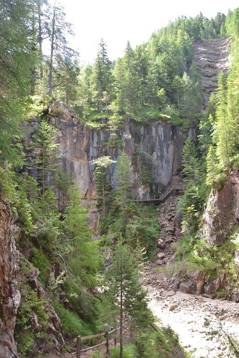
Die Tour führt in den Geopark Bletterbach. Am Parkplatz bezahlt man ein Eintritt für den Park und erhält an der Information einen Helm.
Am Besucherzentrum geht es in die Schlucht heinein bis zum Butterloch. Anschließend über den Jägersteig zur Lahneralm. Von dort zurück zum Parkplatz.
Further information at
http://www.bletterbach.info/Галерея маршрутов
Карта маршрута и высотный профиль
Minimum height 1392 m
Maximum height 1620 m
Комментарии

GPS-Tracks
Trackpoints-
GPX / Garmin Map Source (gpx) download
-
TCX / Garmin Training Center® (tcx) download
-
CRS / Garmin Training Center® (crs) download
-
Google Earth (kml) download
-
G7ToWin (g7t) download
-
TTQV (trk) download
-
Overlay (ovl) download
-
Fugawi (txt) download
-
Kompass (DAV) Track (tk) download
-
Формуляр маршрута (pdf) download
-
Original file of the author (gpx) download
Add to my favorites
Remove from my favorites
Edit tags
Open track
My score
Rate


