Login

Забыл пароль?

Cookies have to be accepted!
Your browser's cookie functionality is disabled. Please enable this functionality.

Not a member yet?

Register now
Login

Available for registred users only

Log in to use this feature.

Забыл пароль?

Cookies have to be accepted!
Your browser's cookie functionality is disabled. Please enable this functionality.

Not a member yet?

Register now
Filter
Категории
Advanced filters
  • Длина (км)
  • Высотомер
Сохранить фильтр Reset filter

TrackRank

QRCode

Technical data

Длина11,2 km Высотомер385 m Way down571 m Длительность04:00 h:m Дата09.11.2014
Оценки Author Ландшафт Веселье Кондиция Техника

Статистика

135 Виды Оценки 2 Загрузки Среднее
Rate
  • Формуляр маршрута
  • Дорога
  • Загрузки
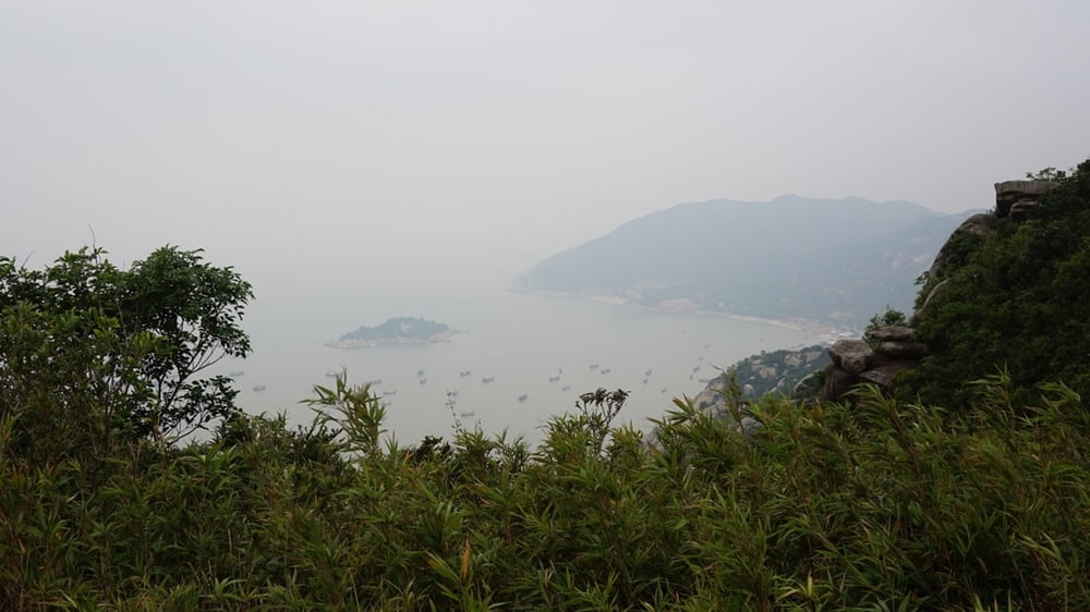
Empfehlenswerte halbtagestour. Sauber! Festes schuhwerk ist empfohlen nach dem 1. Gipfel. Bis zum 1. Gipfel - auch eine schoene aber kurze MTB Tour.

Галерея маршрутов

Карта маршрута и высотный профиль

  • Open Street Map
  • Google
Minimum height 1 m Maximum height 387 m Детальный вид

More about the tour author

py_dolfo
Member since 2011

Send private message

Комментарии

GPS-Tracks

Trackpoints
  • GPX / Garmin Map Source (gpx) download
  • TCX / Garmin Training Center® (tcx) download
  • CRS / Garmin Training Center® (crs) download
  • Google Earth (kml) download
  • G7ToWin (g7t) download
  • TTQV (trk) download
  • Overlay (ovl) download
  • Fugawi (txt) download
  • Kompass (DAV) Track (tk) download
  • Формуляр маршрута (pdf) download
  • Original file of the author (gpx) download

More about the tour author

py_dolfo
Member since 2011

Send private message
Share track
Add to my favorites
Remove from my favorites
Edit tags
My score
Rate
Маршрут: Wandern in der Naehe der Tonggu
Вид: Пешеходный туризм
Длина: 11,2 km
Evaluated on:
Длительность:
Day(s)
Hour(s)
Minute(s)
Оценка: Ландшафт Веселье Кондиция Техника