Login

Забыл пароль?

Cookies have to be accepted!
Your browser's cookie functionality is disabled. Please enable this functionality.

Not a member yet?

Register now
Login

Available for registred users only

Log in to use this feature.

Забыл пароль?

Cookies have to be accepted!
Your browser's cookie functionality is disabled. Please enable this functionality.

Not a member yet?

Register now
Filter
Категории
Advanced filters
  • Длина (км)
  • Высотомер
Сохранить фильтр Reset filter

TrackRank

QRCode

Technical data

Длина59,5 km Высотомер1250 m Way down1264 m Длительность00:00 h:m Дата02.12.2014
Оценки Author Ландшафт Веселье Кондиция Техника

Статистика

1127 Виды Оценки 66 Загрузки Среднее
Rate
  • Формуляр маршрута
  • Дорога
  • Загрузки

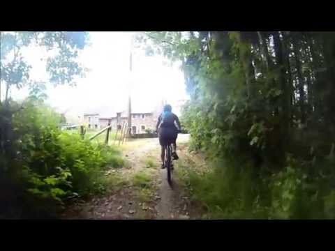
De Rode mountainbike route van Theux is een aanrader. Lange beklimmingen/afdalingen, technische gedeelte, wortels en veel stenen. Dit in combinatie met super mooie uitzichten maakt dit een super leuk rondje. 

Zie de beelden voor een korte impressie. 


Галерея маршрутов

Карта маршрута и высотный профиль

  • Open Street Map
  • Google
Minimum height 159 m Maximum height 418 m Детальный вид

More about the tour author

ATBRides
Member since 2014

Send private message

Комментарии

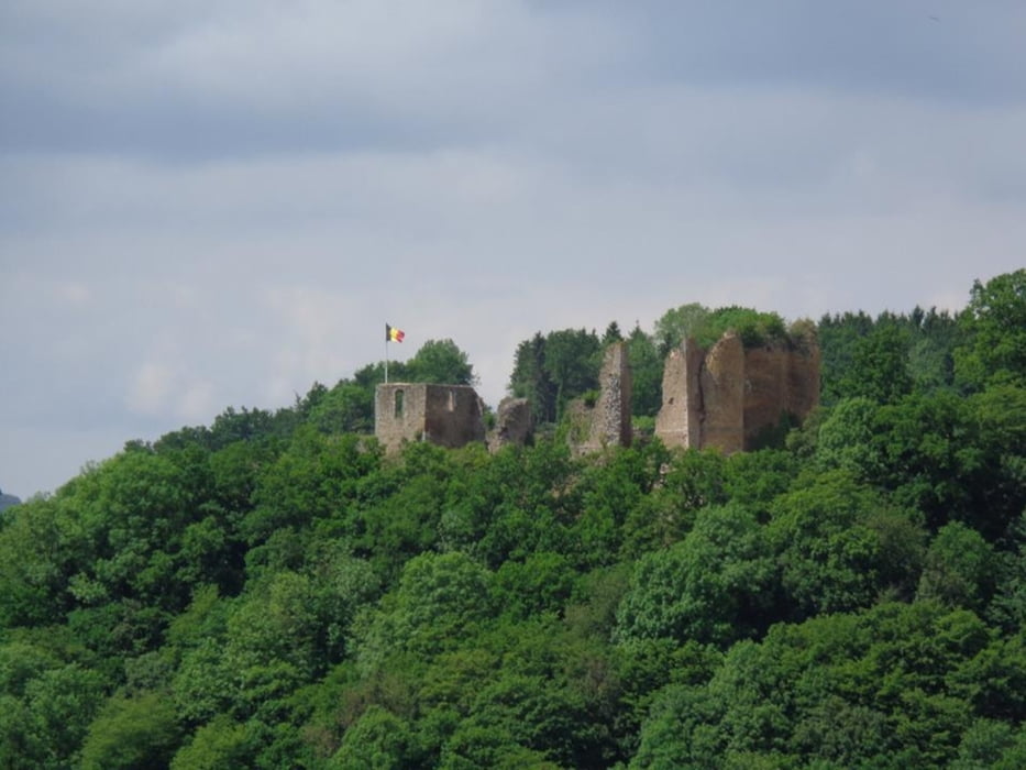
Startlocatie: Kasteel van Frachimont in Theux.


GPS-Tracks

Trackpoints
  • GPX / Garmin Map Source (gpx) download
  • TCX / Garmin Training Center® (tcx) download
  • CRS / Garmin Training Center® (crs) download
  • Google Earth (kml) download
  • G7ToWin (g7t) download
  • TTQV (trk) download
  • Overlay (ovl) download
  • Fugawi (txt) download
  • Kompass (DAV) Track (tk) download
  • Формуляр маршрута (pdf) download
  • Original file of the author (gpx) download

More about the tour author

ATBRides
Member since 2014

Send private message
Share track
Add to my favorites
Remove from my favorites
Edit tags
My score
Rate
Маршрут: MTB Route Theux (Rood)
Вид: Горный велосипед
Длина: 59,5 km
Evaluated on:
Длительность:
Day(s)
Hour(s)
Minute(s)
Оценка: Ландшафт Веселье Кондиция Техника