


Simpatico percorso ad anello con punto di origine nella Valle di Santa Felicita, il quale ripercorre parte di due sentieri che possono portare fino al monte Grappa, ossia il 100 ed il 180. Il dislivello totale è di circa 700 metri in salita.
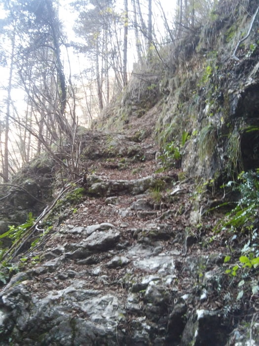
Percorso facile, ma attenzione al ripido canalone iniziale.
Per maggiori informazioni visita il mio blog.
Further information at
http://www.stradasterrata.it/percorso-valle-santa-felicita/Галерея маршрутов


Карта маршрута и высотный профиль
Minimum height 241 m
Maximum height 959 m
More about the tour author
|
|
agospaolo |
Комментарии

GPS-Tracks
Trackpoints-
GPX / Garmin Map Source (gpx) download
-
TCX / Garmin Training Center® (tcx) download
-
CRS / Garmin Training Center® (crs) download
-
Google Earth (kml) download
-
G7ToWin (g7t) download
-
TTQV (trk) download
-
Overlay (ovl) download
-
Fugawi (txt) download
-
Kompass (DAV) Track (tk) download
-
Формуляр маршрута (pdf) download
-
Original file of the author (gpx) download
More about the tour author
|
|
agospaolo |
Add to my favorites
Remove from my favorites
Edit tags
Open track
My score
Rate