Login

Забыл пароль?

Cookies have to be accepted!
Your browser's cookie functionality is disabled. Please enable this functionality.

Not a member yet?

Register now
Login

Available for registred users only

Log in to use this feature.

Забыл пароль?

Cookies have to be accepted!
Your browser's cookie functionality is disabled. Please enable this functionality.

Not a member yet?

Register now
Filter
Категории
Advanced filters
  • Длина (км)
  • Высотомер
Сохранить фильтр Reset filter

TrackRank

QRCode

Technical data

Длина38,0 km Высотомер2191 m Way down1318 m Длительность3 days 0 h Дата01.02.2015
Оценки Author Ландшафт Веселье Кондиция Техника

Статистика

199 Виды Оценки 7 Загрузки Среднее
Rate
  • Формуляр маршрута
  • Дорога
  • Загрузки
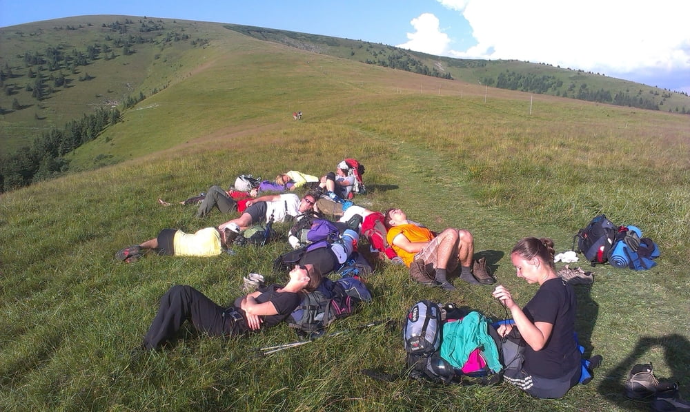
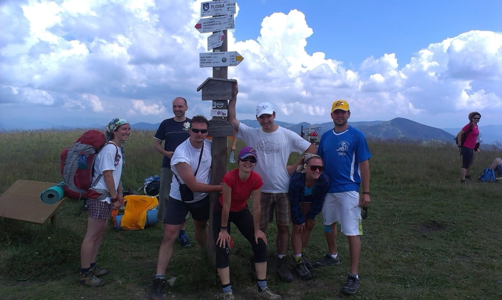
doktorsko-folklórna trojdňová túra naprieč Veľkou Fatrou. Zo Starých Hôr pri Banskej Bystrici až do Ružomberku. Bolo fantasticky!!!

Галерея маршрутов

Карта маршрута и высотный профиль

  • Open Street Map
  • Google
Minimum height 460 m Maximum height 1590 m Детальный вид

More about the tour author

bibo7
Member since 2009

Send private message

Комментарии

GPS-Tracks

Trackpoints
  • GPX / Garmin Map Source (gpx) download
  • TCX / Garmin Training Center® (tcx) download
  • CRS / Garmin Training Center® (crs) download
  • Google Earth (kml) download
  • G7ToWin (g7t) download
  • TTQV (trk) download
  • Overlay (ovl) download
  • Fugawi (txt) download
  • Kompass (DAV) Track (tk) download
  • Формуляр маршрута (pdf) download
  • Original file of the author (gpx) download

More about the tour author

bibo7
Member since 2009

Send private message
Share track
Add to my favorites
Remove from my favorites
Edit tags
My score
Rate
Маршрут: hrebeňovka Veľkej Fatry
Вид: Горный маршрут
Длина: 38,0 km
Evaluated on:
Длительность:
Day(s)
Hour(s)
Minute(s)
Оценка: Ландшафт Веселье Кондиция Техника