
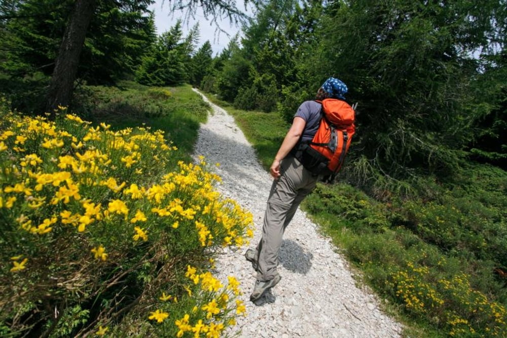

Da Stenico, dove si lascia la macchina, si segue il sentiero SAT 346 attraverso il paese fino alla
località La Cros, dalla quale prosegue coincidendo con il sentiero 347 fino al ponte di Val Laón. Dal ponte si inizia a seguire il sentiero SAT 347, prendendo la strada di sinistra, che risale le coste meridionali del Valandro, ricoperte di magro bosco di carpino, faggio e roverella. La strada carrozzabile presenta tratti esposti, a picco sulle acque sottostanti del lago di Ponte Pià. Dopo un lungo tratto di strada sassosa, effettuati due tornanti, ci si dirige verso nord in direzione di Val d’Algone. Superato l’ultimo tratto esposto, si arriva alla Baita dei Cacciatori e subito dopo, deviando a destra, ai prati di Malga Plaz o malga Prato di Castello. Un vasto pianoro con al centro la vecchia malga in un’estesa prateria ondulata. Il sentiero prosegue lungo il prato in direzione nord-est, entra nel bosco e supera un crinale scendendo verso le scoscese coste della Val di Laón. Una discesa che richiede prudenza a causa del fogliame che mimetizza il sentiero; sentiero che corre ai piedi di una parete rocciosa con tratti esposti e mobili fondo sconnesso. Superato questo tratto, il sentiero continua con regolare salita verso il Capitèl de la Spina, che si raggiunge dopo una breve discesa. Al capitello il sentiero termina riallacciandosi al sentiero SAT 346 che si percorre in discesa per rientrare a Stenico.
località La Cros, dalla quale prosegue coincidendo con il sentiero 347 fino al ponte di Val Laón. Dal ponte si inizia a seguire il sentiero SAT 347, prendendo la strada di sinistra, che risale le coste meridionali del Valandro, ricoperte di magro bosco di carpino, faggio e roverella. La strada carrozzabile presenta tratti esposti, a picco sulle acque sottostanti del lago di Ponte Pià. Dopo un lungo tratto di strada sassosa, effettuati due tornanti, ci si dirige verso nord in direzione di Val d’Algone. Superato l’ultimo tratto esposto, si arriva alla Baita dei Cacciatori e subito dopo, deviando a destra, ai prati di Malga Plaz o malga Prato di Castello. Un vasto pianoro con al centro la vecchia malga in un’estesa prateria ondulata. Il sentiero prosegue lungo il prato in direzione nord-est, entra nel bosco e supera un crinale scendendo verso le scoscese coste della Val di Laón. Una discesa che richiede prudenza a causa del fogliame che mimetizza il sentiero; sentiero che corre ai piedi di una parete rocciosa con tratti esposti e mobili fondo sconnesso. Superato questo tratto, il sentiero continua con regolare salita verso il Capitèl de la Spina, che si raggiunge dopo una breve discesa. Al capitello il sentiero termina riallacciandosi al sentiero SAT 346 che si percorre in discesa per rientrare a Stenico.
Further information at
http://www.visitacomano.it/camminare-e-trekking-alle-terme-di-comano/escursioni-in-montagna-e-passeggiateГалерея маршрутов


Карта маршрута и высотный профиль
Minimum height 99999 m
Maximum height -99999 m
More about the tour author
|
|
apt_terme_comano |
Комментарии

GPS-Tracks
Trackpoints-
GPX / Garmin Map Source (gpx) download
-
TCX / Garmin Training Center® (tcx) download
-
CRS / Garmin Training Center® (crs) download
-
Google Earth (kml) download
-
G7ToWin (g7t) download
-
TTQV (trk) download
-
Overlay (ovl) download
-
Fugawi (txt) download
-
Kompass (DAV) Track (tk) download
-
Формуляр маршрута (pdf) download
-
Original file of the author (gpx) download
More about the tour author
|
|
apt_terme_comano |
Add to my favorites
Remove from my favorites
Edit tags
Open track
My score
Rate