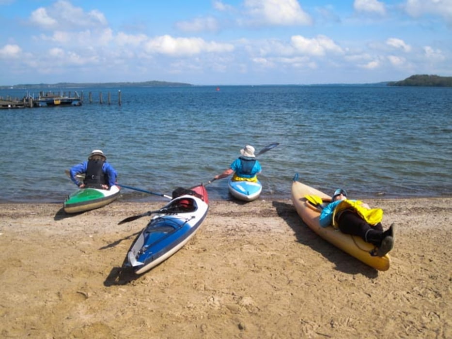
Wechsel aus Natur und Kultur. Großgewässer! Wir hatten vor Schwerin sehr starken Wind und hohe Wellen, der Weg vom Schloss zur Hafeneinfahrt war denn doch sehr spannend. Nur für abgeschottete Boote mit Schwimmweste usw. Anschließend Stadtrundgang: einfach Spitze.
Галерея маршрутов
Карта маршрута и высотный профиль
Minimum height 7 m
Maximum height 60 m
Комментарии

Autos zum Versetzen für die Streckenfahrt. Ansonsten kann man hier auch Rundkurse fahren.
GPS-Tracks
Trackpoints-
GPX / Garmin Map Source (gpx) download
-
TCX / Garmin Training Center® (tcx) download
-
CRS / Garmin Training Center® (crs) download
-
Google Earth (kml) download
-
G7ToWin (g7t) download
-
TTQV (trk) download
-
Overlay (ovl) download
-
Fugawi (txt) download
-
Kompass (DAV) Track (tk) download
-
Формуляр маршрута (pdf) download
-
Original file of the author (gpx) download
Add to my favorites
Remove from my favorites
Edit tags
Open track
My score
Rate


