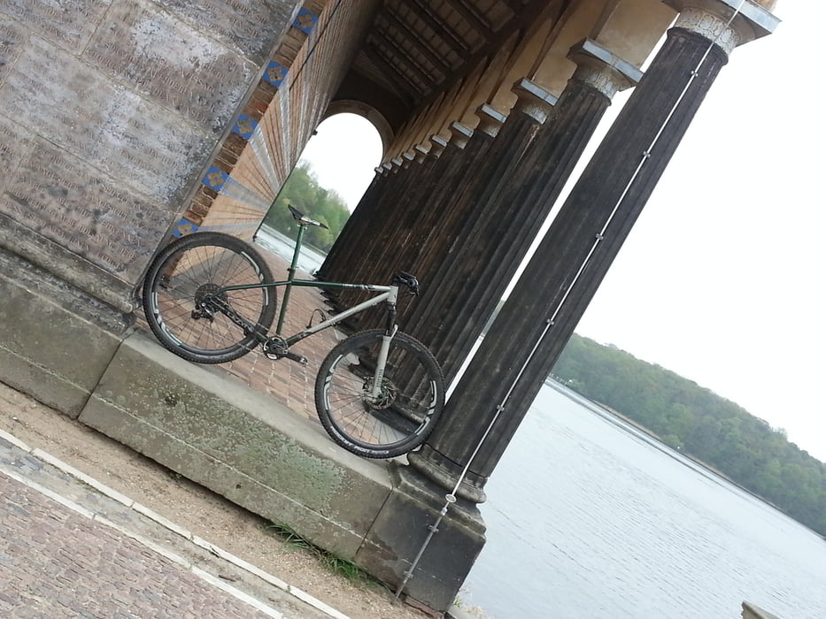
einfach mal selbst erleben! Geschichte, verpackt mit Sport und toller Landschaft!!!
Галерея маршрутов
Карта маршрута и высотный профиль
Minimum height 43 m
Maximum height 96 m
Комментарии
GPS-Tracks
Trackpoints-
GPX / Garmin Map Source (gpx) download
-
TCX / Garmin Training Center® (tcx) download
-
CRS / Garmin Training Center® (crs) download
-
Google Earth (kml) download
-
G7ToWin (g7t) download
-
TTQV (trk) download
-
Overlay (ovl) download
-
Fugawi (txt) download
-
Kompass (DAV) Track (tk) download
-
Формуляр маршрута (pdf) download
-
Original file of the author (gpx) download
Add to my favorites
Remove from my favorites
Edit tags
Open track
My score
Rate


MAUERRADWEG!!!!
Ich habe mir gleich deine Tour auf mein Garmin gezogen und werde sie demnächst in mehreren Etappen fahren!
Vielen Dank und bis Bald!
Mauerradweg
ist der Mauerradweg ausgeschildert?
Danke und bis bald,
Gruß Bernd
Ja klar, mit einem Wachturmsymbol(steht auch darunter BerlinerMauerweg).
Viel Spaß