Login

Забыл пароль?

Cookies have to be accepted!
Your browser's cookie functionality is disabled. Please enable this functionality.

Not a member yet?

Register now
Login

Available for registred users only

Log in to use this feature.

Забыл пароль?

Cookies have to be accepted!
Your browser's cookie functionality is disabled. Please enable this functionality.

Not a member yet?

Register now
Filter
Категории
Advanced filters
  • Длина (км)
  • Высотомер
Сохранить фильтр Reset filter

TrackRank

QRCode

Technical data

Длина17,8 km Высотомер1396 m Way down1382 m Длительность05:00 h:m Дата15.05.2015
Оценки Author Ландшафт Веселье Кондиция Техника

Статистика

1505 Виды Оценки 27 Загрузки Среднее
Rate
  • Формуляр маршрута
  • Дорога
  • Загрузки
Vom Parkplatz Richtung Wasserfall. Dann der Beschilderung Richtung Eisenkappler Hütte folgen. Nach ca. 650 HM der Beschilderung Richtung Jagoutzalm. Alles sehr gut markiert

Галерея маршрутов

Карта маршрута и высотный профиль

  • Open Street Map
  • Google
Minimum height 528 m Maximum height 1947 m Детальный вид

More about the tour author

hermannkescher
Member since 2013

Send private message

Комментарии

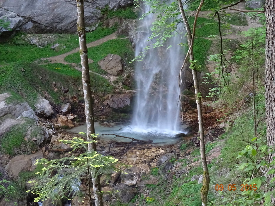
Startpunkt Gallizien beim Wasserfall.

GPS-Tracks

Trackpoints
  • GPX / Garmin Map Source (gpx) download
  • TCX / Garmin Training Center® (tcx) download
  • CRS / Garmin Training Center® (crs) download
  • Google Earth (kml) download
  • G7ToWin (g7t) download
  • TTQV (trk) download
  • Overlay (ovl) download
  • Fugawi (txt) download
  • Kompass (DAV) Track (tk) download
  • Формуляр маршрута (pdf) download
  • Original file of the author (tcx) download

More about the tour author

hermannkescher
Member since 2013

Send private message
Share track
Add to my favorites
Remove from my favorites
Edit tags
My score
Rate
Маршрут: Wildenstein-Kleinobir-Wildenstein
Вид: Горный маршрут
Длина: 17,8 km
Evaluated on:
Длительность:
Day(s)
Hour(s)
Minute(s)
Оценка: Ландшафт Веселье Кондиция Техника