Login

Забыл пароль?

Cookies have to be accepted!
Your browser's cookie functionality is disabled. Please enable this functionality.

Not a member yet?

Register now
Login

Available for registred users only

Log in to use this feature.

Забыл пароль?

Cookies have to be accepted!
Your browser's cookie functionality is disabled. Please enable this functionality.

Not a member yet?

Register now
Filter
Категории
Advanced filters
  • Длина (км)
  • Высотомер
Сохранить фильтр Reset filter

TrackRank

QRCode

Technical data

Длина76,2 km Высотомер1285 m Way down1433 m Длительность05:39 h:m Дата07.06.2015
Оценки Author Ландшафт Веселье Кондиция Техника

Статистика

238 Виды Оценки 21 Загрузки Среднее
Rate
  • Формуляр маршрута
  • Дорога
  • Загрузки

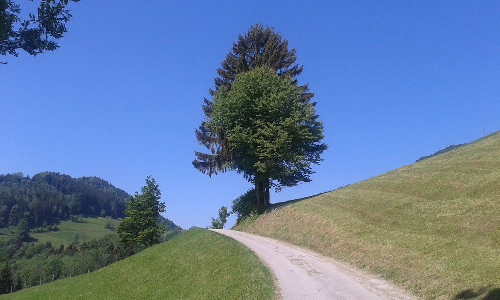
Letzte Etappe auf der Kalkalpenrunde. Zunächst ist es eine Bauernhofralley und dann entlang der Enns den Radweg entlang. Vor Kronstorf Richtung Ernsthofen über die Brücke.


Галерея маршрутов

Карта маршрута и высотный профиль

  • Open Street Map
  • Google
Minimum height 266 m Maximum height 818 m Детальный вид

Комментарии

Start in Weyer.


GPS-Tracks

Trackpoints
  • GPX / Garmin Map Source (gpx) download
  • TCX / Garmin Training Center® (tcx) download
  • CRS / Garmin Training Center® (crs) download
  • Google Earth (kml) download
  • G7ToWin (g7t) download
  • TTQV (trk) download
  • Overlay (ovl) download
  • Fugawi (txt) download
  • Kompass (DAV) Track (tk) download
  • Формуляр маршрута (pdf) download
  • Original file of the author (gpx) download
Share track
Add to my favorites
Remove from my favorites
Edit tags
My score
Rate
Маршрут: Weyer-St. Valentin (Kalkalpen3) 150606
Вид: Горный велосипед
Длина: 76,2 km
Evaluated on:
Длительность:
Day(s)
Hour(s)
Minute(s)
Оценка: Ландшафт Веселье Кондиция Техника