


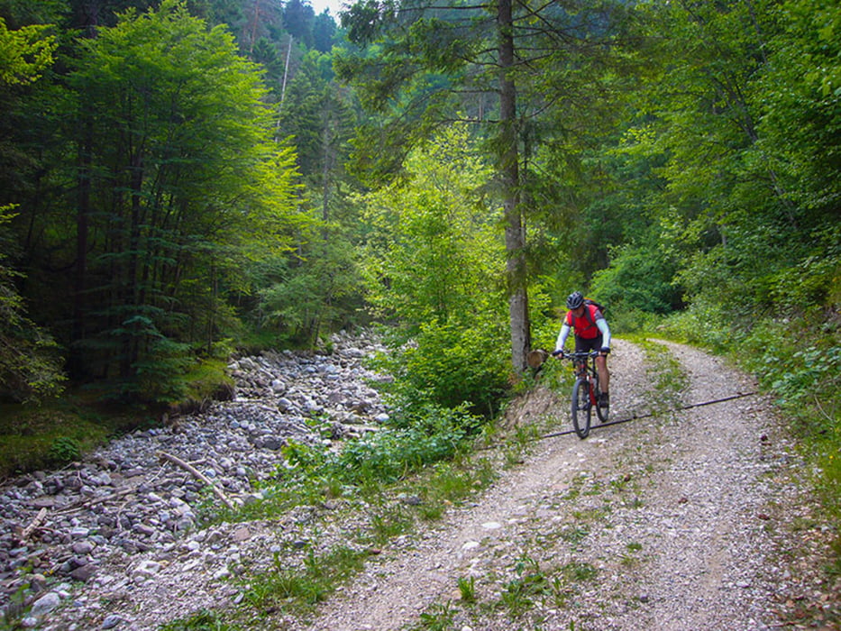
Etappe 5 eines leichten Alpencrosses von Nesselwang nach Andrian (Bozen).
Gefahrene Strecke: Kaltern - Oberplanitzing - Mendelpass [1.363 m] - Fondo - Castelfondo - Arnica Hütte - Unsere Liebe Frau im Walde - Gampenpass [1.518 m] - Hotel Alpenrose - Mühlenweg - Zwingenburg - Prissian - Nals - Andrian - Unterrain - St. Pauls - St. Michael - Kaltern (Eis).
Further information at
http://www.velotouren.net/radtouren/touren/touren2015/alpen-x/etappen/mendel-gampen/Галерея маршрутов


Карта маршрута и высотный профиль
Minimum height 274 m
Maximum height 1532 m
More about the tour author
|
|
Moppedcarlo |
Комментарии

GPS-Tracks
Trackpoints-
GPX / Garmin Map Source (gpx) download
-
TCX / Garmin Training Center® (tcx) download
-
CRS / Garmin Training Center® (crs) download
-
Google Earth (kml) download
-
G7ToWin (g7t) download
-
TTQV (trk) download
-
Overlay (ovl) download
-
Fugawi (txt) download
-
Kompass (DAV) Track (tk) download
-
Формуляр маршрута (pdf) download
-
Original file of the author (gpx) download
More about the tour author
|
|
Moppedcarlo |
Add to my favorites
Remove from my favorites
Edit tags
Open track
My score
Rate