Login

Забыл пароль?

Cookies have to be accepted!
Your browser's cookie functionality is disabled. Please enable this functionality.

Not a member yet?

Register now
Login

Available for registred users only

Log in to use this feature.

Забыл пароль?

Cookies have to be accepted!
Your browser's cookie functionality is disabled. Please enable this functionality.

Not a member yet?

Register now
Filter
Категории
Advanced filters
  • Длина (км)
  • Высотомер
Сохранить фильтр Reset filter

TrackRank

QRCode

Technical data

Длина9,6 km Высотомер167 m Way down177 m Длительность04:00 h:m Дата21.06.2015
Оценки Author Ландшафт Веселье Кондиция Техника

Статистика

608 Виды Оценки 15 Загрузки Среднее
Rate
  • Формуляр маршрута
  • Дорога
  • Загрузки
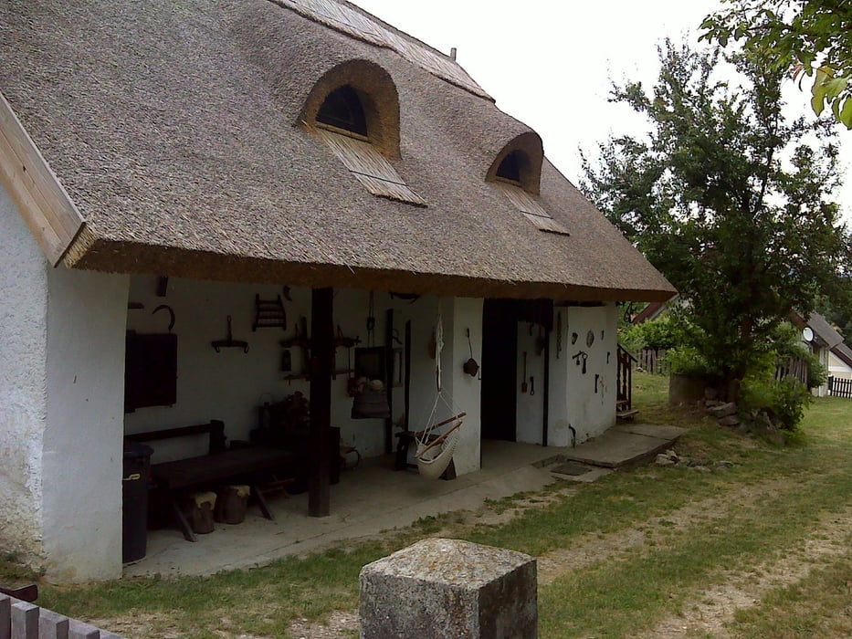
Pécselyről az út hibátlanul ki van táblázva. Viszont meglepetés hogy a várban található kilátó-ahonnan egyébként a Balaton és Tihany is látható-siralmas állapotban van.

Галерея маршрутов

Карта маршрута и высотный профиль

  • Open Street Map
  • Google
Minimum height 187 m Maximum height 349 m Детальный вид

More about the tour author

anyosati
Member since 2013

Send private message

Комментарии

GPS-Tracks

Trackpoints
  • GPX / Garmin Map Source (gpx) download
  • TCX / Garmin Training Center® (tcx) download
  • CRS / Garmin Training Center® (crs) download
  • Google Earth (kml) download
  • G7ToWin (g7t) download
  • TTQV (trk) download
  • Overlay (ovl) download
  • Fugawi (txt) download
  • Kompass (DAV) Track (tk) download
  • Формуляр маршрута (pdf) download
  • Original file of the author (gpx) download

More about the tour author

anyosati
Member since 2013

Send private message
Share track
Add to my favorites
Remove from my favorites
Edit tags
My score
Rate
Маршрут: Pécsely-Zádor vár
Вид: Пешеходный туризм
Длина: 9,6 km
Evaluated on:
Длительность:
Day(s)
Hour(s)
Minute(s)
Оценка: Ландшафт Веселье Кондиция Техника