Login

Забыл пароль?

Cookies have to be accepted!
Your browser's cookie functionality is disabled. Please enable this functionality.

Not a member yet?

Register now
Login

Available for registred users only

Log in to use this feature.

Забыл пароль?

Cookies have to be accepted!
Your browser's cookie functionality is disabled. Please enable this functionality.

Not a member yet?

Register now
Filter
Категории
Advanced filters
  • Длина (км)
  • Высотомер
Сохранить фильтр Reset filter

TrackRank

QRCode

Technical data

Длина52,4 km Высотомер1066 m Way down1063 m Длительность03:00 h:m Дата26.06.2015
Оценки Author Ландшафт Веселье Кондиция Техника

Статистика

191 Виды Оценки 31 Загрузки Среднее
Rate
  • Формуляр маршрута
  • Дорога
  • Загрузки
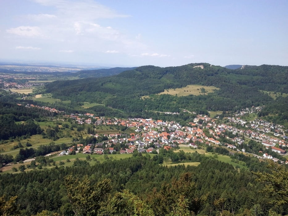
Mountainbike-Tour mit alles drin: Höhen- und Kilometer, technisch interessante Auf- und Abfahrten, viele Möglichkeiten kurz an Aussichtspunkte (entlang des Albtraufes, z.B.: Gräbelesberg) heranzufahren.

Карта маршрута и высотный профиль

  • Open Street Map
  • Google
Minimum height 509 m Maximum height 938 m Детальный вид

More about the tour author

G_hostR_ider
Member since 2012

Send private message

Комментарии

über B27 Ausfahrt Bisingen

GPS-Tracks

Trackpoints
  • GPX / Garmin Map Source (gpx) download
  • TCX / Garmin Training Center® (tcx) download
  • CRS / Garmin Training Center® (crs) download
  • Google Earth (kml) download
  • G7ToWin (g7t) download
  • TTQV (trk) download
  • Overlay (ovl) download
  • Fugawi (txt) download
  • Kompass (DAV) Track (tk) download
  • Формуляр маршрута (pdf) download
  • Original file of the author (gpx) download

More about the tour author

G_hostR_ider
Member since 2012

Send private message
Share track
Add to my favorites
Remove from my favorites
Edit tags
My score
Rate
Маршрут: Heersberg Gräbelesberg Lochen
Вид: Горный велосипед
Длина: 52,4 km
Evaluated on:
Длительность:
Day(s)
Hour(s)
Minute(s)
Оценка: Ландшафт Веселье Кондиция Техника