Login

Забыл пароль?

Cookies have to be accepted!
Your browser's cookie functionality is disabled. Please enable this functionality.

Not a member yet?

Register now
Login

Available for registred users only

Log in to use this feature.

Забыл пароль?

Cookies have to be accepted!
Your browser's cookie functionality is disabled. Please enable this functionality.

Not a member yet?

Register now
Filter
Категории
Advanced filters
  • Длина (км)
  • Высотомер
Сохранить фильтр Reset filter

TrackRank

QRCode

Technical data

Длина134,5 km Высотомер213 m Way down206 m Длительность07:00 h:m Дата13.07.2015
Оценки Author Ландшафт Веселье Кондиция Техника

Статистика

153 Виды Оценки 5 Загрузки Среднее
Rate
  • Формуляр маршрута
  • Дорога
  • Загрузки

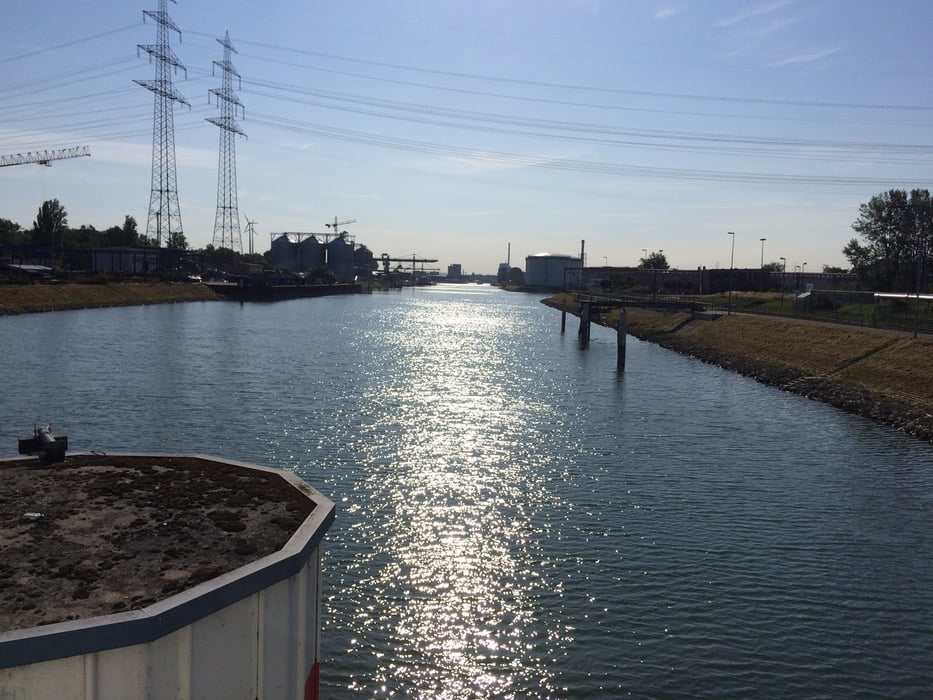
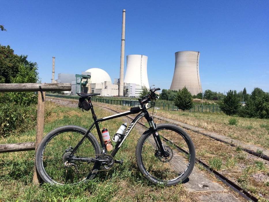
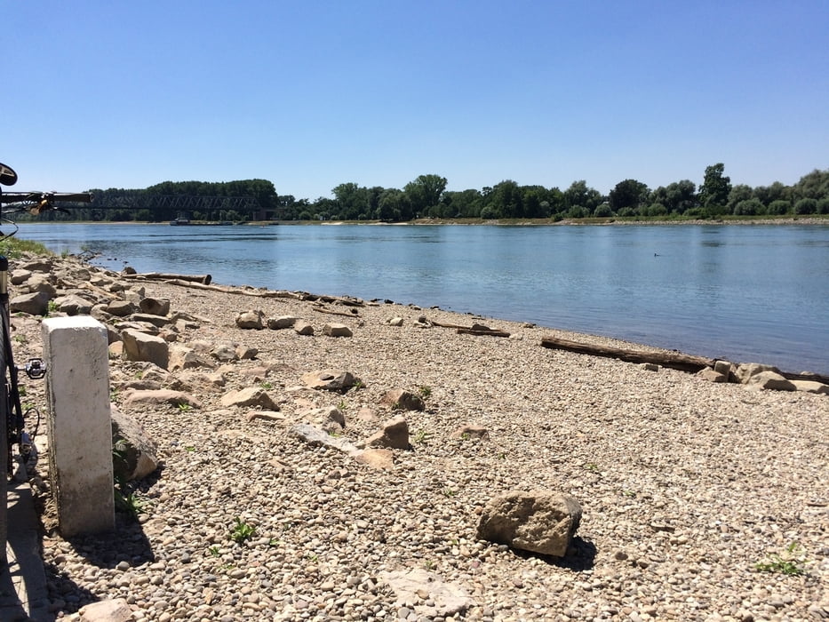
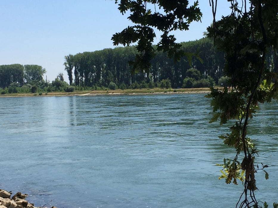
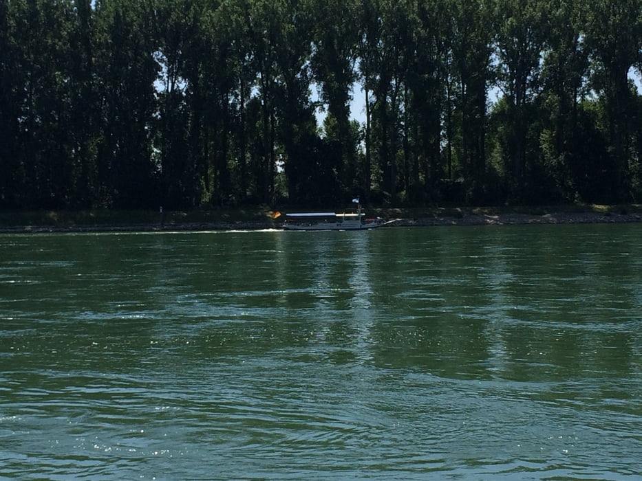
Tour am Rhein entlang.

Schon zu fahren ,fast nur Radwege 90%,Stadt 5%,Wald 5%.

Mehrere Einkehrmöglichkeiten z.b Tropicbeach island Rheinsheim,Fähre Leimersheim,Insel Rot.

Möglichst bei niedrigwasser Wasser fahren.


Галерея маршрутов

Карта маршрута и высотный профиль

  • Open Street Map
  • Google
Minimum height 94 m Maximum height 128 m Детальный вид

More about the tour author

eastwood
Member since 2009

Send private message

Комментарии

GPS-Tracks

Trackpoints
  • GPX / Garmin Map Source (gpx) download
  • TCX / Garmin Training Center® (tcx) download
  • CRS / Garmin Training Center® (crs) download
  • Google Earth (kml) download
  • G7ToWin (g7t) download
  • TTQV (trk) download
  • Overlay (ovl) download
  • Fugawi (txt) download
  • Kompass (DAV) Track (tk) download
  • Формуляр маршрута (pdf) download
  • Original file of the author (tcx) download

More about the tour author

eastwood
Member since 2009

Send private message
Share track
Add to my favorites
Remove from my favorites
Edit tags
My score
Rate
Маршрут: Rheintour Pfalz/Baden
Вид: Трековый велосипед
Длина: 134,5 km
Evaluated on:
Длительность:
Day(s)
Hour(s)
Minute(s)
Оценка: Ландшафт Веселье Кондиция Техника