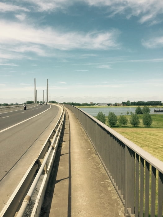
Start der Tour ist Waldniel. Von dort über Amern, Boisheim, Herongen nach Geldern. Weiter an Kevelaer und Kalkar vorbei nach Rees. Dort über die Rheinbrücke. Übernachtung im Inselgasthof Nass
Für die Rückfahrt siehe unten stehenden Link.
Further information at
/ru/tracks/detail.144288.htmlГалерея маршрутов
Карта маршрута и высотный профиль
Minimum height 6 m
Maximum height 55 m
Комментарии

Über die A52 Fahrrichtung Roermond nach Waldniel. Abfahrt Hostert oder Waldniel
GPS-Tracks
Trackpoints-
GPX / Garmin Map Source (gpx) download
-
TCX / Garmin Training Center® (tcx) download
-
CRS / Garmin Training Center® (crs) download
-
Google Earth (kml) download
-
G7ToWin (g7t) download
-
TTQV (trk) download
-
Overlay (ovl) download
-
Fugawi (txt) download
-
Kompass (DAV) Track (tk) download
-
Формуляр маршрута (pdf) download
-
Original file of the author (gpx) download
Add to my favorites
Remove from my favorites
Edit tags
Open track
My score
Rate


