Login

Забыл пароль?

Cookies have to be accepted!
Your browser's cookie functionality is disabled. Please enable this functionality.

Not a member yet?

Register now
Login

Available for registred users only

Log in to use this feature.

Забыл пароль?

Cookies have to be accepted!
Your browser's cookie functionality is disabled. Please enable this functionality.

Not a member yet?

Register now
Filter
Категории
Advanced filters
  • Длина (км)
  • Высотомер
Сохранить фильтр Reset filter

TrackRank

QRCode

Technical data

Длина28,5 km Высотомер105 m Way down97 m Длительность00:00 h:m Дата25.08.2015
Оценки Author Ландшафт Веселье Кондиция Техника

Статистика

371 Виды Оценки 27 Загрузки Среднее
Rate
  • Формуляр маршрута
  • Дорога
  • Загрузки

gemütliche MTB Tour auf Teer, Schotter und Waldwegen.

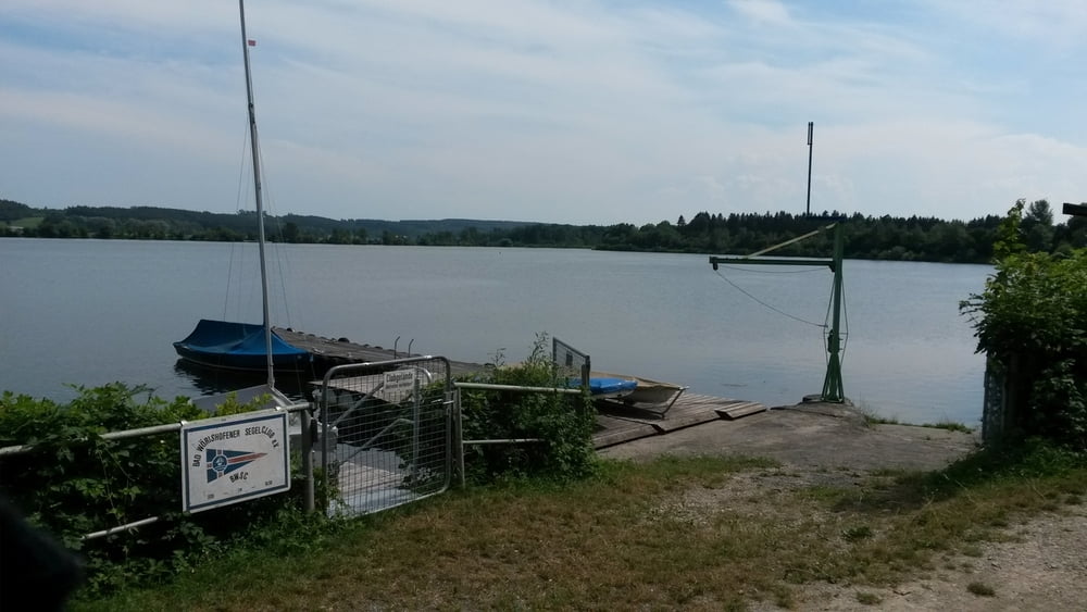
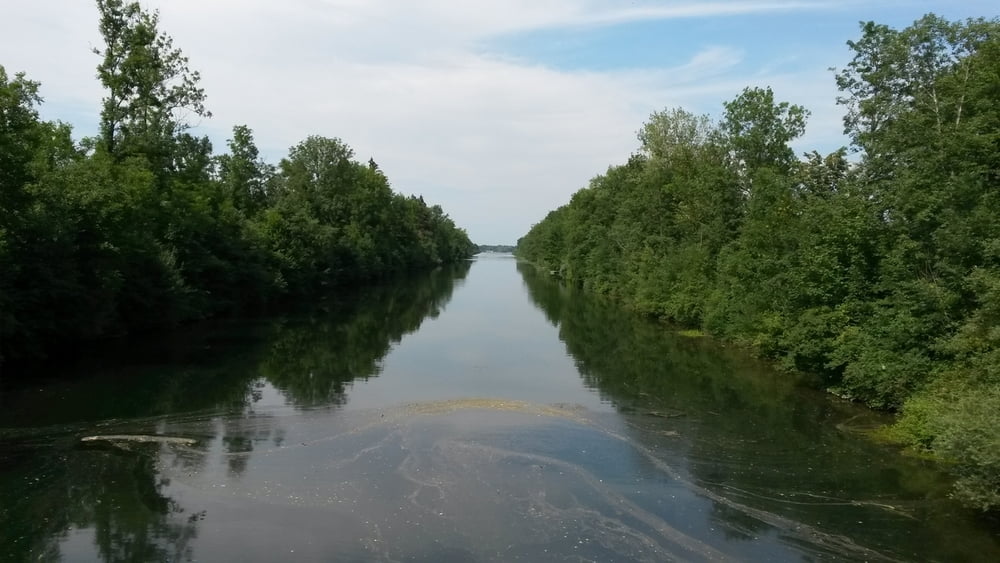
Start ist in Bad Wörishofen ( Am Tannenbaum ) und führt an den Wörishofener Stausee entlang der Wertach zu den anderen beiden Seen.


Галерея маршрутов

Карта маршрута и высотный профиль

  • Open Street Map
  • Google
Minimum height 623 m Maximum height 670 m Детальный вид

More about the tour author

franz1962
Member since 2011

Send private message

Комментарии

GPS-Tracks

Trackpoints
  • GPX / Garmin Map Source (gpx) download
  • TCX / Garmin Training Center® (tcx) download
  • CRS / Garmin Training Center® (crs) download
  • Google Earth (kml) download
  • G7ToWin (g7t) download
  • TTQV (trk) download
  • Overlay (ovl) download
  • Fugawi (txt) download
  • Kompass (DAV) Track (tk) download
  • Формуляр маршрута (pdf) download
  • Original file of the author (gpx) download

More about the tour author

franz1962
Member since 2011

Send private message
Share track
Add to my favorites
Remove from my favorites
Edit tags
My score
Rate
Маршрут: Bad Wörishofen 3 Seen Runde
Вид: Горный велосипед
Длина: 28,5 km
Evaluated on:
Длительность:
Day(s)
Hour(s)
Minute(s)
Оценка: Ландшафт Веселье Кондиция Техника