Login

Забыл пароль?

Cookies have to be accepted!
Your browser's cookie functionality is disabled. Please enable this functionality.

Not a member yet?

Register now
Login

Available for registred users only

Log in to use this feature.

Забыл пароль?

Cookies have to be accepted!
Your browser's cookie functionality is disabled. Please enable this functionality.

Not a member yet?

Register now
Filter
Категории
Advanced filters
  • Длина (км)
  • Высотомер
Сохранить фильтр Reset filter

TrackRank

QRCode

Technical data

Длина18,6 km Высотомер550 m Way down155 m Длительность1 day 0 h Дата25.08.2015
Оценки Author Ландшафт Веселье Кондиция Техника

Статистика

223 Виды Оценки 17 Загрузки Среднее
Rate
  • Формуляр маршрута
  • Дорога
  • Загрузки

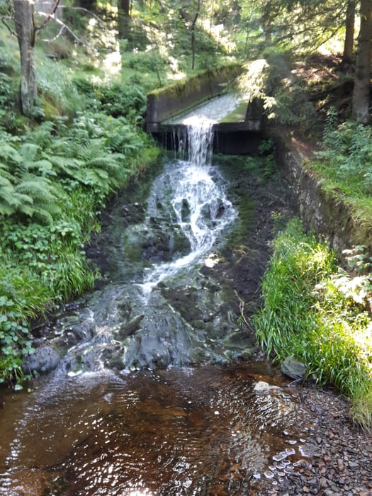
Erste Etappe auf den Hexenstieg von Osterode nach Polaterberg.

Die Strecke ist leicht bis mittel, fordert aber doch schon ein wenig Kondition.


Галерея маршрутов

Карта маршрута и высотный профиль

  • Open Street Map
  • Google
Minimum height 215 m Maximum height 616 m Детальный вид

More about the tour author

Nahtbarbe
Member since 2013

Send private message

Комментарии

Osterode Parkplatz Bleiche, gegenüber einstieg in den Hexenstieg


GPS-Tracks

Trackpoints
  • GPX / Garmin Map Source (gpx) download
  • TCX / Garmin Training Center® (tcx) download
  • CRS / Garmin Training Center® (crs) download
  • Google Earth (kml) download
  • G7ToWin (g7t) download
  • TTQV (trk) download
  • Overlay (ovl) download
  • Fugawi (txt) download
  • Kompass (DAV) Track (tk) download
  • Формуляр маршрута (pdf) download
  • Original file of the author (gpx) download

More about the tour author

Nahtbarbe
Member since 2013

Send private message
Share track
Add to my favorites
Remove from my favorites
Edit tags
My score
Rate
Маршрут: Hexenstieg in fünf Etappen hier erste die Etappe
Вид: Пешеходный туризм
Длина: 18,6 km
Evaluated on:
Длительность:
Day(s)
Hour(s)
Minute(s)
Оценка: Ландшафт Веселье Кондиция Техника