


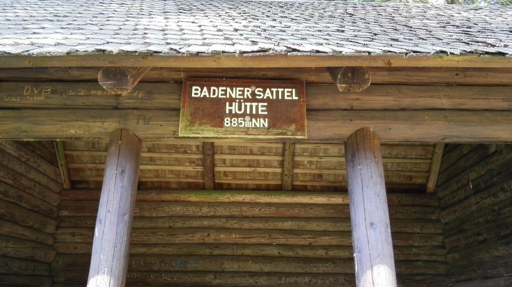
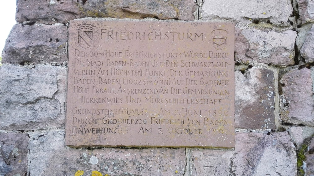
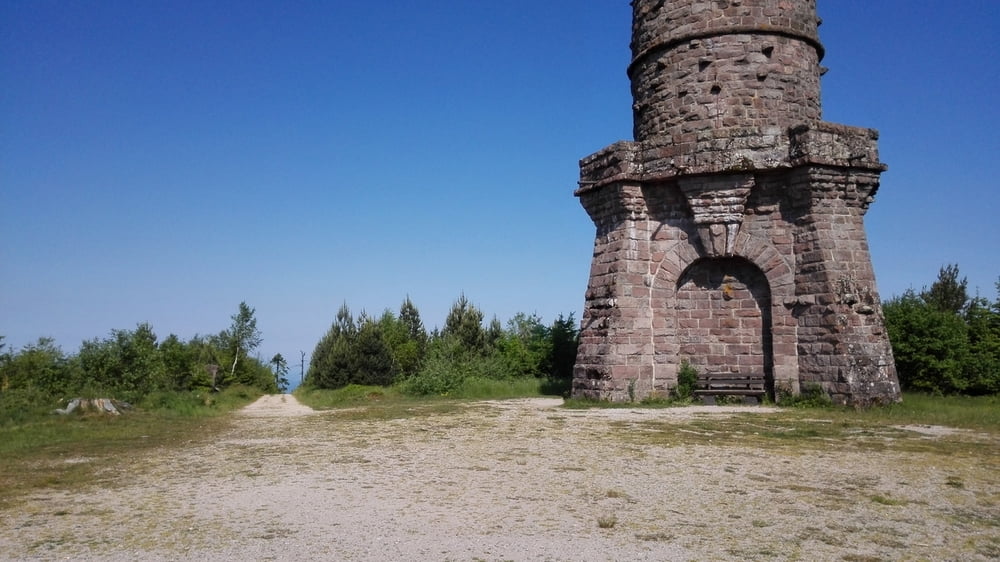
Die Route fängt in Gaggenau-Ottenau an und geht über Gernsbach Schloss Eberstein - Heidenell-Rote Lache-Höhenweg-Badner Sattel hinauf zum Friedrichsturm auf der Badner Höhe.
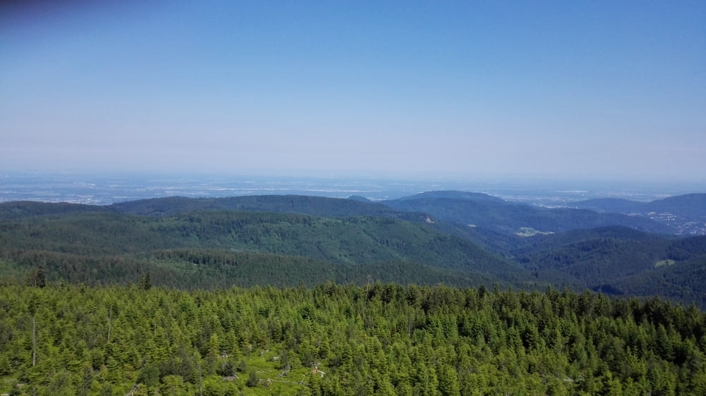
Von hier oben aus hat meinen einen herrlichen Ausblick über den Nordschwarzwald bis in die Vogesen.
Tour sehr gut erweiterbar in Richtung Schwarzenbachtalsperre oder Richtung Sand.Hundseck-Mummelsee-Hornisgrinde.......
Галерея маршрутов
Карта маршрута и высотный профиль
Minimum height 145 m
Maximum height 978 m
More about the tour author
|
|
Klaus1911 |
Комментарии

Die Tour kann auch direkt von Gernsbach aus gestartet werden.
GPS-Tracks
Trackpoints-
GPX / Garmin Map Source (gpx) download
-
TCX / Garmin Training Center® (tcx) download
-
CRS / Garmin Training Center® (crs) download
-
Google Earth (kml) download
-
G7ToWin (g7t) download
-
TTQV (trk) download
-
Overlay (ovl) download
-
Fugawi (txt) download
-
Kompass (DAV) Track (tk) download
-
Формуляр маршрута (pdf) download
-
Original file of the author (gpx) download
More about the tour author
|
|
Klaus1911 |
Add to my favorites
Remove from my favorites
Edit tags
Open track
My score
Rate