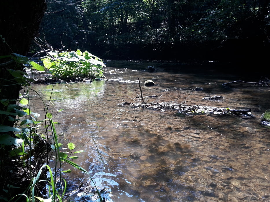
Vierte Etappe auf den Hexenstieg von nach Königshütte nach Altenbrak.
Die Strecke ist leicht bis mittel, fordert aber doch schon ein wenig Kondition.
Die Strecke ist leicht bis mittel, fordert aber doch schon ein wenig Kondition.
Галерея маршрутов
Карта маршрута и высотный профиль
Minimum height 292 m
Maximum height 506 m
Комментарии

GPS-Tracks
Trackpoints-
GPX / Garmin Map Source (gpx) download
-
TCX / Garmin Training Center® (tcx) download
-
CRS / Garmin Training Center® (crs) download
-
Google Earth (kml) download
-
G7ToWin (g7t) download
-
TTQV (trk) download
-
Overlay (ovl) download
-
Fugawi (txt) download
-
Kompass (DAV) Track (tk) download
-
Формуляр маршрута (pdf) download
-
Original file of the author (gpx) download
Add to my favorites
Remove from my favorites
Edit tags
Open track
My score
Rate


