Login

Забыл пароль?

Cookies have to be accepted!
Your browser's cookie functionality is disabled. Please enable this functionality.

Not a member yet?

Register now
Login

Available for registred users only

Log in to use this feature.

Забыл пароль?

Cookies have to be accepted!
Your browser's cookie functionality is disabled. Please enable this functionality.

Not a member yet?

Register now
Filter
Категории
Advanced filters
  • Длина (км)
  • Высотомер
Сохранить фильтр Reset filter

TrackRank

QRCode

Technical data

Длина64,1 km Высотомер975 m Way down971 m Длительность00:00 h:m Дата05.09.2015
Оценки Author Ландшафт Веселье Кондиция Техника

Статистика

233 Виды Оценки 26 Загрузки Среднее
Rate
  • Формуляр маршрута
  • Дорога
  • Загрузки

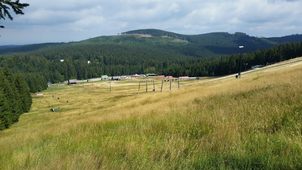
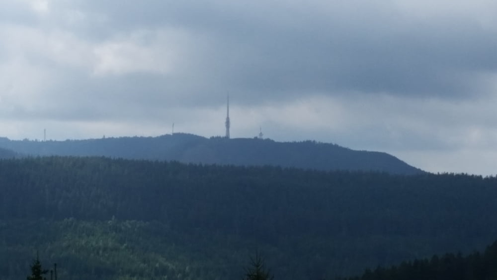
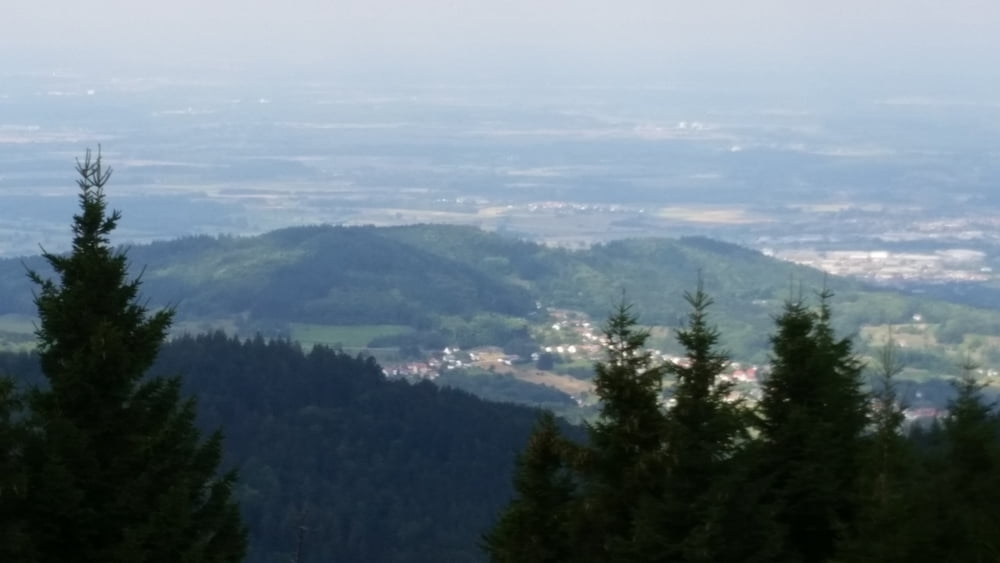
Schloss Eberstein-Rote Lache-Höhenweg in Richtung Badner Sattel-Sand-Mehliskopfturm-Hundseck-Hundsbachtal bis Raumünzach-Tour de Murgweg zurück bis zum Startpunkt.


Галерея маршрутов

Карта маршрута и высотный профиль

  • Open Street Map
  • Google
Minimum height 144 m Maximum height 992 m Детальный вид

More about the tour author

Klaus1911
Member since 2015

Send private message

Комментарии

Tour kann von Gernsbach gestartet werden und bei Lust und Kondition erweitert werden zb. ab Hundseck in Richtung Hornisgrinde/Mummelsee.


GPS-Tracks

Trackpoints
  • GPX / Garmin Map Source (gpx) download
  • TCX / Garmin Training Center® (tcx) download
  • CRS / Garmin Training Center® (crs) download
  • Google Earth (kml) download
  • G7ToWin (g7t) download
  • TTQV (trk) download
  • Overlay (ovl) download
  • Fugawi (txt) download
  • Kompass (DAV) Track (tk) download
  • Формуляр маршрута (pdf) download
  • Original file of the author (gpx) download

More about the tour author

Klaus1911
Member since 2015

Send private message
Share track
Add to my favorites
Remove from my favorites
Edit tags
My score
Rate
Маршрут: Mehliskopfturm-Hundseck
Вид: Горный велосипед
Длина: 64,1 km
Evaluated on:
Длительность:
Day(s)
Hour(s)
Minute(s)
Оценка: Ландшафт Веселье Кондиция Техника