Login

Забыл пароль?

Cookies have to be accepted!
Your browser's cookie functionality is disabled. Please enable this functionality.

Not a member yet?

Register now
Login

Available for registred users only

Log in to use this feature.

Забыл пароль?

Cookies have to be accepted!
Your browser's cookie functionality is disabled. Please enable this functionality.

Not a member yet?

Register now
Filter
Категории
Advanced filters
  • Длина (км)
  • Высотомер
Сохранить фильтр Reset filter

TrackRank

QRCode

Technical data

Длина60,2 km Высотомер939 m Way down1117 m Длительность07:00 h:m Дата16.09.2015
Оценки Author Ландшафт Веселье Кондиция Техника

Статистика

138 Виды Оценки 13 Загрузки Среднее
Rate
  • Формуляр маршрута
  • Дорога
  • Загрузки

Tour durch den Bayrischen Wald und den Böhmerwald.

Anfangs auf Adalbert Stifter Radweg - die ersten 10 KM 

fehlen dort - Navi nicht eingeschaltet gehabt.

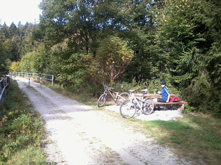
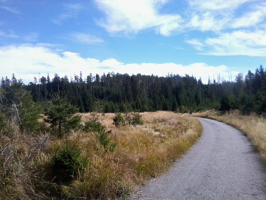
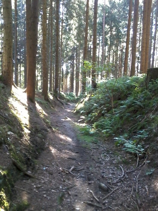
Meist auf Schotter und Nebenwegen - hin und wieder mal ein Wanderweg eingestreut.

Галерея маршрутов

Карта маршрута и высотный профиль

  • Open Street Map
  • Google
Minimum height 538 m Maximum height 1171 m Детальный вид

More about the tour author

Hoar
Member since 2009

Send private message

Комментарии

GPS-Tracks

Trackpoints
  • GPX / Garmin Map Source (gpx) download
  • TCX / Garmin Training Center® (tcx) download
  • CRS / Garmin Training Center® (crs) download
  • Google Earth (kml) download
  • G7ToWin (g7t) download
  • TTQV (trk) download
  • Overlay (ovl) download
  • Fugawi (txt) download
  • Kompass (DAV) Track (tk) download
  • Формуляр маршрута (pdf) download
  • Original file of the author (gpx) download

More about the tour author

Hoar
Member since 2009

Send private message
Share track
Add to my favorites
Remove from my favorites
Edit tags
My score
Rate
Маршрут: von Jandelsbrunn nach Rohrbach
Вид: Горный велосипед
Длина: 60,2 km
Evaluated on:
Длительность:
Day(s)
Hour(s)
Minute(s)
Оценка: Ландшафт Веселье Кондиция Техника