


Höhendifferenz: 670hm
Länge: 16km
Schwierigkeit: S1-2
Dauer: ca. 2,5h
Einkehrmöglichkeit: Rottach Egern, Kreuth
Hier gehts zum Touren Video:
https://www.youtube.com/watch?v=qwdGD_HqSjA
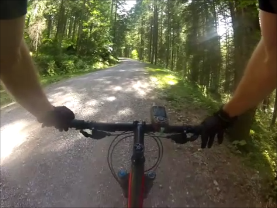
Wunderschöne Tour vorbei am Bauern in der Au. Mit mäßig steilen Anstiegen, hauptsächlich auf Feldwegen.
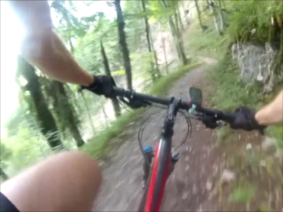
Das Highlight der Tour ist der durchgängig gut fahrbare Singletrail hinunter nach Kreuth. Anfangs noch etwas rauh, wird der Trail mit der Zeit immer flowiger.
Zurück zum Auto empfiehlt sich der Weg entlang der Weißach oder auch einfach die 307.
Biker sind nicht überall gerne gesehen, freundlich Grüßen hilft fast immer!
Das Recht ist auf unserer Seite:
http://www.dimb.de/aktuelles/news-a-presse/798-bayvgh-radfahrverbot-aufgehoben
Further information at
https://www.youtube.com/watch?v=qwdGD_HqSjAГалерея маршрутов


Карта маршрута и высотный профиль
Minimum height 767 m
Maximum height 1404 m
More about the tour author
|
|
MTB_Venture |
Комментарии
Parkmöglichkeiten sind in der .gpx enthalten
GPS-Tracks
Trackpoints-
GPX / Garmin Map Source (gpx) download
-
TCX / Garmin Training Center® (tcx) download
-
CRS / Garmin Training Center® (crs) download
-
Google Earth (kml) download
-
G7ToWin (g7t) download
-
TTQV (trk) download
-
Overlay (ovl) download
-
Fugawi (txt) download
-
Kompass (DAV) Track (tk) download
-
Формуляр маршрута (pdf) download
-
Original file of the author (gpx) download
More about the tour author
|
|
MTB_Venture |
Add to my favorites
Remove from my favorites
Edit tags
Open track
My score
Rate
Nice single trail down!