Login

Забыл пароль?

Cookies have to be accepted!
Your browser's cookie functionality is disabled. Please enable this functionality.

Not a member yet?

Register now
Login

Available for registred users only

Log in to use this feature.

Забыл пароль?

Cookies have to be accepted!
Your browser's cookie functionality is disabled. Please enable this functionality.

Not a member yet?

Register now
Filter
Категории
Advanced filters
  • Длина (км)
  • Высотомер
Сохранить фильтр Reset filter

TrackRank

QRCode

Technical data

Длина17,6 km Высотомер592 m Way down557 m Длительность05:09 h:m Дата12.10.2015
Оценки Author Ландшафт Веселье Кондиция Техника

Статистика

1896 Виды Оценки 48 Загрузки Среднее
Rate
  • Формуляр маршрута
  • Дорога
  • Загрузки
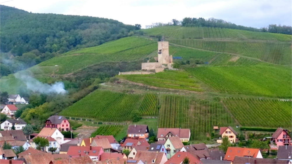
Wanderung durch Weindörfer des Elsass von Turckheim über Katzenthal und Kaysersberg nach Riquewihr

Further information at

http://de.wikiloc.com/routen/wandern/france/alsace/turckheim

Галерея маршрутов

Карта маршрута и высотный профиль

  • Open Street Map
  • Google
Minimum height 242 m Maximum height 604 m Детальный вид

More about the tour author

horst1508
Member since 2012

Send private message

Комментарии

Ausgangspunkt  ist die Place de la République vor dem Stadttor von Turckheim. 

GPS-Tracks

Trackpoints
  • GPX / Garmin Map Source (gpx) download
  • TCX / Garmin Training Center® (tcx) download
  • CRS / Garmin Training Center® (crs) download
  • Google Earth (kml) download
  • G7ToWin (g7t) download
  • TTQV (trk) download
  • Overlay (ovl) download
  • Fugawi (txt) download
  • Kompass (DAV) Track (tk) download
  • Формуляр маршрута (pdf) download
  • Original file of the author (gpx) download

More about the tour author

horst1508
Member since 2012

Send private message
Share track
Add to my favorites
Remove from my favorites
Edit tags
My score
Rate
Маршрут: Elsass: Turckheim - Katzenthal - Kayersberg - Riquewihr
Вид: Пешеходный туризм
Длина: 17,6 km
Evaluated on:
Длительность:
Day(s)
Hour(s)
Minute(s)
Оценка: Ландшафт Веселье Кондиция Техника