Login

Забыл пароль?

Cookies have to be accepted!
Your browser's cookie functionality is disabled. Please enable this functionality.

Not a member yet?

Register now
Login

Available for registred users only

Log in to use this feature.

Забыл пароль?

Cookies have to be accepted!
Your browser's cookie functionality is disabled. Please enable this functionality.

Not a member yet?

Register now
Filter
Категории
Advanced filters
  • Длина (км)
  • Высотомер
Сохранить фильтр Reset filter

TrackRank

QRCode

Technical data

Длина15,8 km Высотомер382 m Way down626 m Длительность04:39 h:m Дата14.10.2015
Оценки Author Ландшафт Веселье Кондиция Техника

Статистика

959 Виды Оценки 31 Загрузки Среднее
Rate
  • Формуляр маршрута
  • Дорога
  • Загрузки
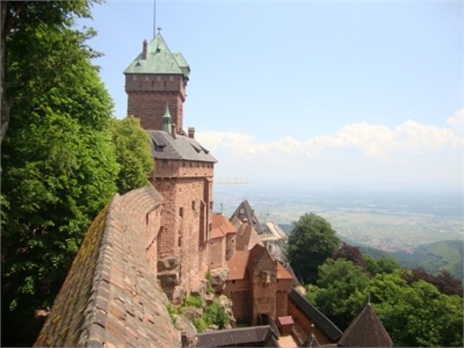
Wanderung von Thannenkirch zur Haut Koenigsbourg (757 m ü. M. ) und Abstieg nach Châtenois

Further information at

http://www.tourisme-alsace.com/de/269000048-CHaTEAU-DU-HAUT-KOENIGSBOURG.html

Галерея маршрутов

Карта маршрута и высотный профиль

  • Open Street Map
  • Google
Minimum height 194 m Maximum height 748 m Детальный вид

More about the tour author

horst1508
Member since 2012

Send private message

Комментарии

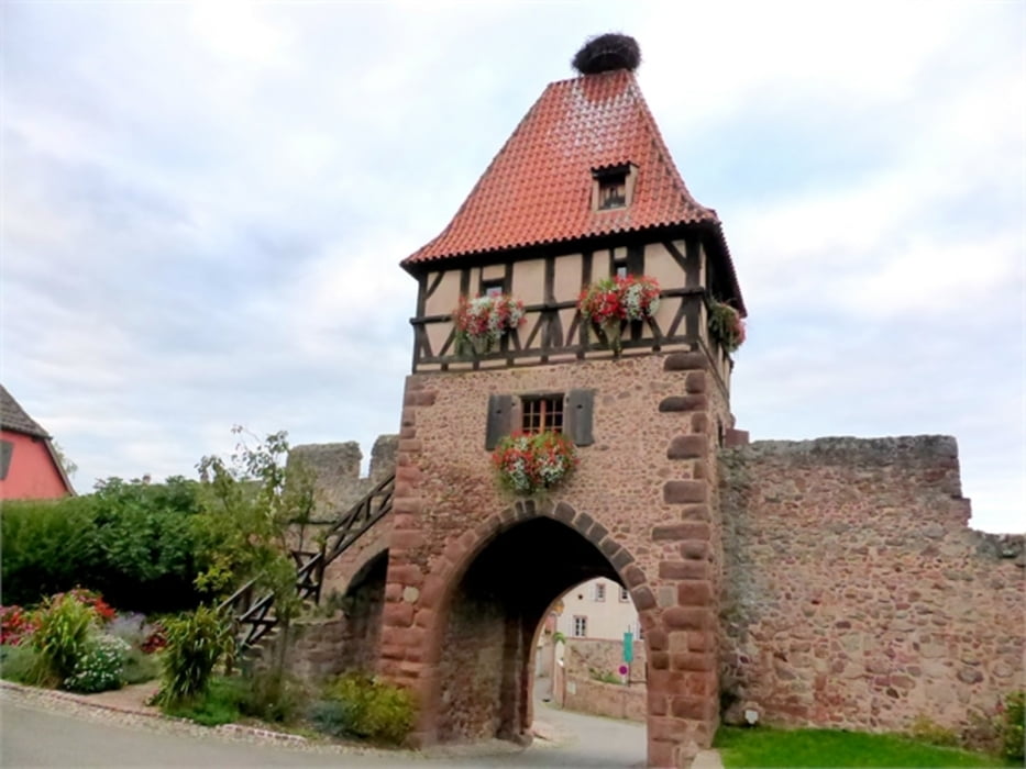
Beginn der Wanderung in dem kleinen Dorf Thannenkirch (circa 450 Einwohner)

GPS-Tracks

Trackpoints
  • GPX / Garmin Map Source (gpx) download
  • TCX / Garmin Training Center® (tcx) download
  • CRS / Garmin Training Center® (crs) download
  • Google Earth (kml) download
  • G7ToWin (g7t) download
  • TTQV (trk) download
  • Overlay (ovl) download
  • Fugawi (txt) download
  • Kompass (DAV) Track (tk) download
  • Формуляр маршрута (pdf) download
  • Original file of the author (gpx) download

More about the tour author

horst1508
Member since 2012

Send private message
Share track
Add to my favorites
Remove from my favorites
Edit tags
My score
Rate
Маршрут: Elsass: Thannenkirch - Haut Koenigsbourg - Châtenois
Вид: Пешеходный туризм
Длина: 15,8 km
Evaluated on:
Длительность:
Day(s)
Hour(s)
Minute(s)
Оценка: Ландшафт Веселье Кондиция Техника