
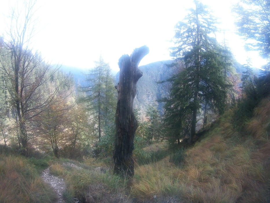

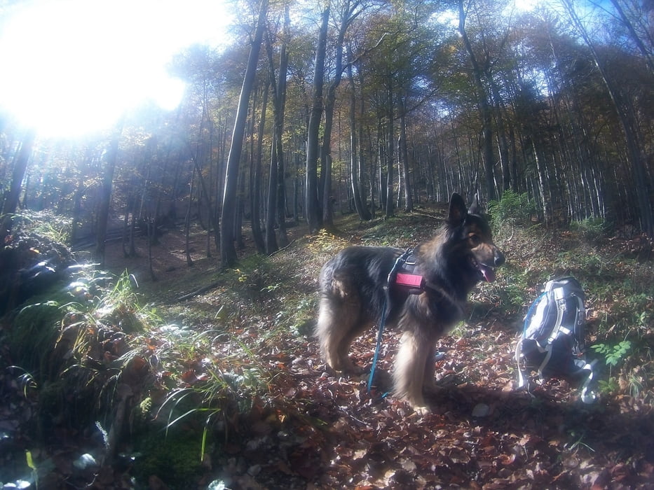
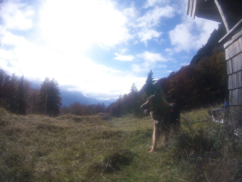
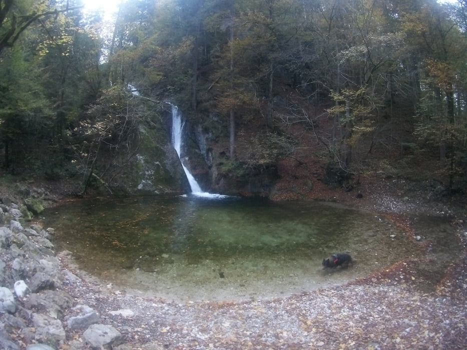
Verschwiegene Pfade im Reichenhaller Waldgebirge
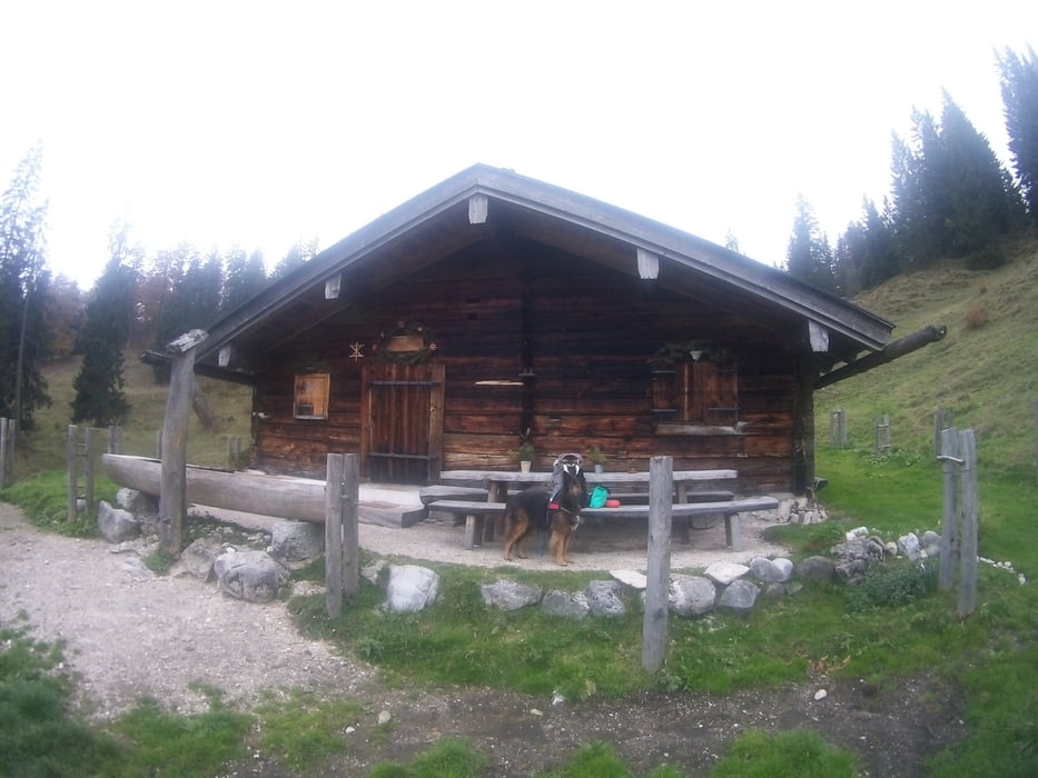
Abwechslungsreiche Rundwanderung von Schneizlreuth (Ausgangspunkt Postwirt in Schneizlreuth) beste Jahreszeit Ende Mai bis Ende Oktober
Schmale und phasenweise steile Bergwege (besonders im ersten Teil des Aufstiegs) . Mit elementarer Trittsicherheit und durchschnittlicher Kondition machbar
Галерея маршрутов
Карта маршрута и высотный профиль
Minimum height 518 m
Maximum height 1551 m
More about the tour author

|
Andrea1207 |
Комментарии

Autobahn A8 bis Ausfahrt Richtung Schneizlreuth. Dann beim Postwirt parken. Zum Ausgangspunkt der Tour geht man durch den Biergarten
GPS-Tracks
Trackpoints-
GPX / Garmin Map Source (gpx) download
-
TCX / Garmin Training Center® (tcx) download
-
CRS / Garmin Training Center® (crs) download
-
Google Earth (kml) download
-
G7ToWin (g7t) download
-
TTQV (trk) download
-
Overlay (ovl) download
-
Fugawi (txt) download
-
Kompass (DAV) Track (tk) download
-
Формуляр маршрута (pdf) download
-
Original file of the author (gpx) download
More about the tour author
|
|
Andrea1207 |
Add to my favorites
Remove from my favorites
Edit tags
Open track
My score
Rate