Login

Забыл пароль?

Cookies have to be accepted!
Your browser's cookie functionality is disabled. Please enable this functionality.

Not a member yet?

Register now
Login

Available for registred users only

Log in to use this feature.

Забыл пароль?

Cookies have to be accepted!
Your browser's cookie functionality is disabled. Please enable this functionality.

Not a member yet?

Register now
Filter
Категории
Advanced filters
  • Длина (км)
  • Высотомер
Сохранить фильтр Reset filter

TrackRank

QRCode

Technical data

Длина31,1 km Высотомер601 m Way down617 m Длительность00:00 h:m Дата24.10.2015
Оценки Author Ландшафт Веселье Кондиция Техника

Статистика

236 Виды Оценки 37 Загрузки Среднее
Rate
  • Формуляр маршрута
  • Дорога
  • Загрузки
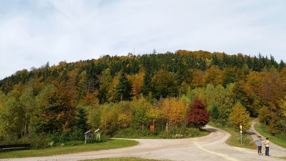
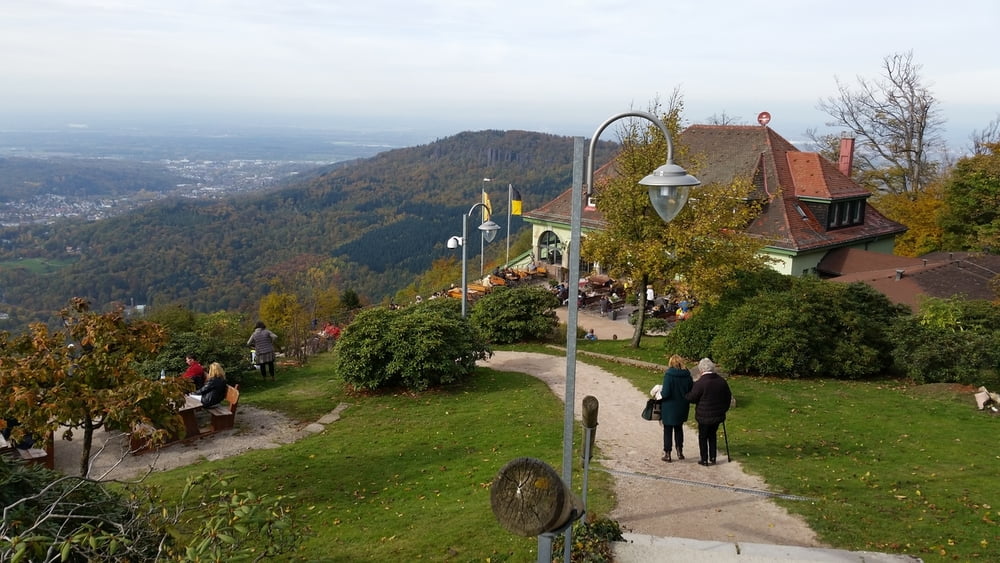
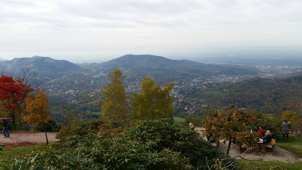
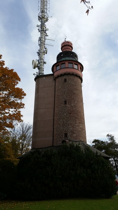
Die Tour beginnt in Gaggenau-Ottenau und führt nach Gernsbach,dort fahren wir ab der Stadtmitte die Waldbachstrasse und die Badner Strasse in Richtung Nachtigall hoch. Von der Nachtigall gehts weiter Richtung Binsenwasen/Merkur. Sehr schöne MTB Tour die auch für Anfänger bestens geeignet ist.

Галерея маршрутов

Карта маршрута и высотный профиль

  • Open Street Map
  • Google
Minimum height 119 m Maximum height 658 m Детальный вид

More about the tour author

Klaus1911
Member since 2015

Send private message

Комментарии

GPS-Tracks

Trackpoints
  • GPX / Garmin Map Source (gpx) download
  • TCX / Garmin Training Center® (tcx) download
  • CRS / Garmin Training Center® (crs) download
  • Google Earth (kml) download
  • G7ToWin (g7t) download
  • TTQV (trk) download
  • Overlay (ovl) download
  • Fugawi (txt) download
  • Kompass (DAV) Track (tk) download
  • Формуляр маршрута (pdf) download
  • Original file of the author (gpx) download

More about the tour author

Klaus1911
Member since 2015

Send private message
Share track
Add to my favorites
Remove from my favorites
Edit tags
My score
Rate
Маршрут: Nachtigall-Merkur
Вид: Горный велосипед
Длина: 31,1 km
Evaluated on:
Длительность:
Day(s)
Hour(s)
Minute(s)
Оценка: Ландшафт Веселье Кондиция Техника