Login

Забыл пароль?

Cookies have to be accepted!
Your browser's cookie functionality is disabled. Please enable this functionality.

Not a member yet?

Register now
Login

Available for registred users only

Log in to use this feature.

Забыл пароль?

Cookies have to be accepted!
Your browser's cookie functionality is disabled. Please enable this functionality.

Not a member yet?

Register now
Filter
Категории
Advanced filters
  • Длина (км)
  • Высотомер
Сохранить фильтр Reset filter

TrackRank

QRCode

Technical data

Длина36,9 km Высотомер669 m Way down674 m Длительность02:20 h:m Дата12.12.2015
Оценки Author Ландшафт Веселье Кондиция Техника

Статистика

186 Виды Оценки 18 Загрузки Среднее
Rate
  • Формуляр маршрута
  • Дорога
  • Загрузки
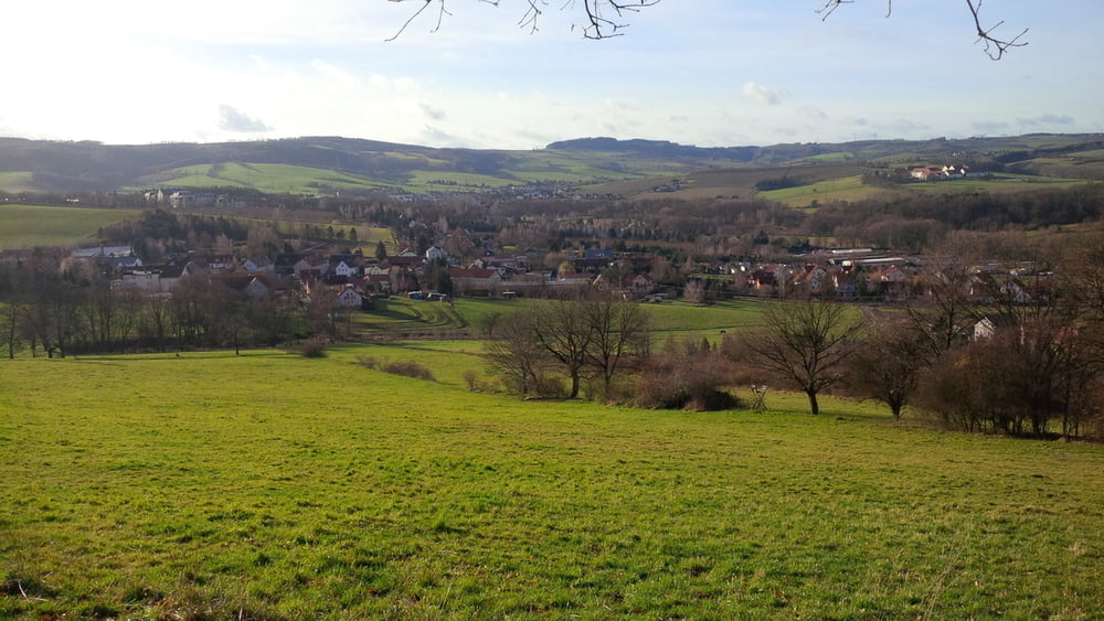
obwohl man sich die meiste zeit im stadtgebiet aufhält hat man gute trails, z. b. entlang am nöthnitzer bach. abwechslungsreich und landschaftlich schön mit guten ausblicken.

Галерея маршрутов

Карта маршрута и высотный профиль

  • Open Street Map
  • Google
Minimum height 96 m Maximum height 339 m Детальный вид

More about the tour author

chris_dd
Member since 2011

Send private message

Комментарии

GPS-Tracks

Trackpoints
  • GPX / Garmin Map Source (gpx) download
  • TCX / Garmin Training Center® (tcx) download
  • CRS / Garmin Training Center® (crs) download
  • Google Earth (kml) download
  • G7ToWin (g7t) download
  • TTQV (trk) download
  • Overlay (ovl) download
  • Fugawi (txt) download
  • Kompass (DAV) Track (tk) download
  • Формуляр маршрута (pdf) download
  • Original file of the author (gpx) download

More about the tour author

chris_dd
Member since 2011

Send private message
Share track
Add to my favorites
Remove from my favorites
Edit tags
My score
Rate
Маршрут: DD Süd gegen Uhrzeiger
Вид: Горный велосипед
Длина: 36,9 km
Evaluated on:
Длительность:
Day(s)
Hour(s)
Minute(s)
Оценка: Ландшафт Веселье Кондиция Техника