
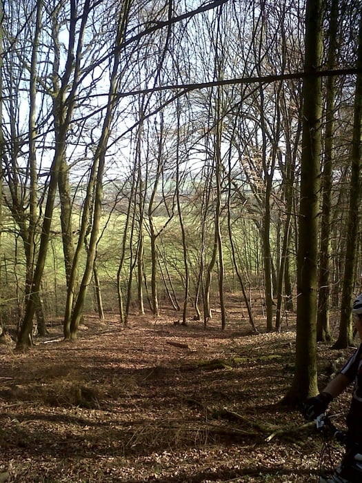

Durch die Wälder Lothringens...
Schotterpisten wechseln sich mit Singletrails ab. Mit kurzen aber starken Rampen. Zwischenbereiche müssen (leider) auf der Straße gefahren werden, da durchgängige Waldwege in Frankreichs Osten eher selten sind.
Галерея маршрутов


Карта маршрута и высотный профиль
Minimum height 200 m
Maximum height 316 m
More about the tour author
|
|
Veloce |
Комментарии

Von Bouzonville der Beschilderung Richtung METZ folgen. Im folgenden Ort VAUDRECHING an der Ampel links abbiegen. Parkmöglichkeit neben dem Restaurant "Relais du Campagnard".
GPS-Tracks
Trackpoints-
GPX / Garmin Map Source (gpx) download
-
TCX / Garmin Training Center® (tcx) download
-
CRS / Garmin Training Center® (crs) download
-
Google Earth (kml) download
-
G7ToWin (g7t) download
-
TTQV (trk) download
-
Overlay (ovl) download
-
Fugawi (txt) download
-
Kompass (DAV) Track (tk) download
-
Формуляр маршрута (pdf) download
-
Original file of the author (gpx) download
More about the tour author
|
|
Veloce |
Add to my favorites
Remove from my favorites
Edit tags
Open track
My score
Rate