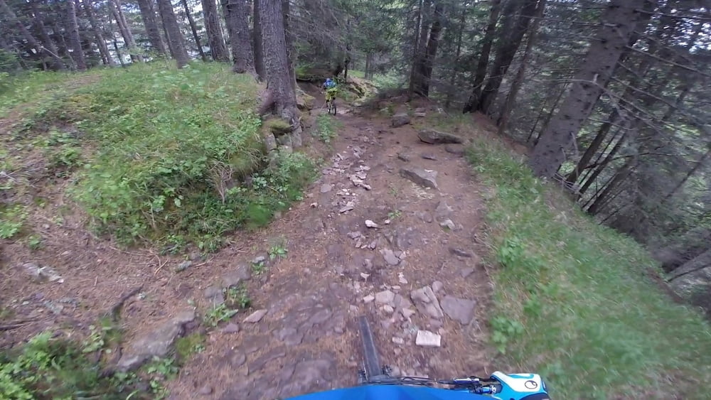
Von der Brögleshütte geht es den 5er durch das Annatal nach St. Ulrich im Grödnertal.
Als Auffahrt hatten wir uns für den Hauptweg von St. Ulrich entschieden (Wege 9, 9A und 10). Anfangs betoniert, später geschottert, durchweg relativ steil aber mit ca. 15% für einen Freerider noch fahrbar.
Further information at
https://youtu.be/9HHXEbNO1yIГалерея маршрутов
Карта маршрута и высотный профиль
Minimum height 1325 m
Maximum height 2170 m
Комментарии

Start in Sankt Ulrich im Grödnertal (Ortisei).
GPS-Tracks
Trackpoints-
GPX / Garmin Map Source (gpx) download
-
TCX / Garmin Training Center® (tcx) download
-
CRS / Garmin Training Center® (crs) download
-
Google Earth (kml) download
-
G7ToWin (g7t) download
-
TTQV (trk) download
-
Overlay (ovl) download
-
Fugawi (txt) download
-
Kompass (DAV) Track (tk) download
-
Формуляр маршрута (pdf) download
-
Original file of the author (gpx) download
Add to my favorites
Remove from my favorites
Edit tags
Open track
My score
Rate


