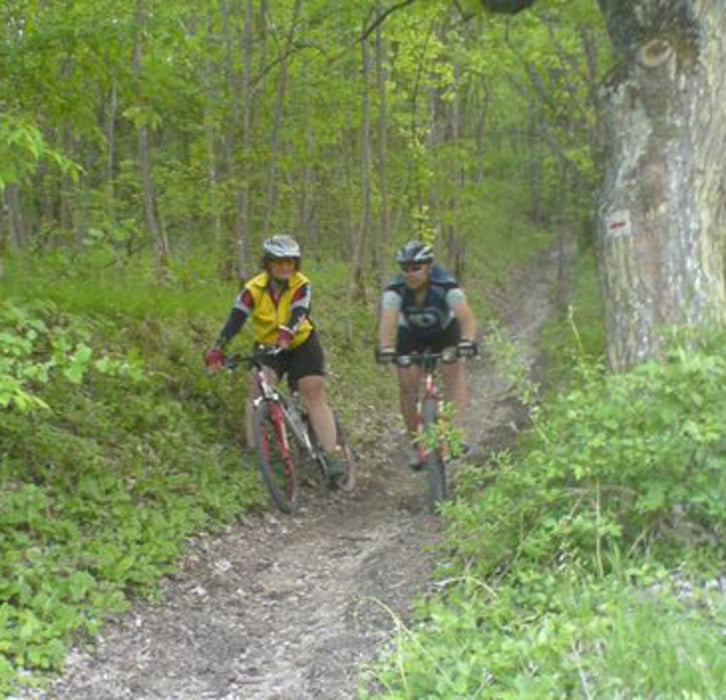
Nette Auftaktrunde mit zwei schönen Anstiegen und einer Schiebe/Tragepassage die auch umfahren werden kann. Panoramaaussicht von der Vexierkapelle übers Wiesenttal zum Walberla. Danach rasante Abfahrt ins Tal und erneuter extrem steiler Anstieg zum Flughafen bei der Burg Feuerstein mit Einkehrmöglichkeit. Abfahrt nach Drosendorf und Gunzendorf von da Schlussanstieg zum Bierkeller auf dem Senftenberg. Danach zurück nach Buttenheim.
Карта маршрута и высотный профиль
Minimum height 272 m
Maximum height 581 m
Комментарии

GPS-Tracks
Trackpoints-
GPX / Garmin Map Source (gpx) download
-
TCX / Garmin Training Center® (tcx) download
-
CRS / Garmin Training Center® (crs) download
-
Google Earth (kml) download
-
G7ToWin (g7t) download
-
TTQV (trk) download
-
Overlay (ovl) download
-
Fugawi (txt) download
-
Kompass (DAV) Track (tk) download
-
Формуляр маршрута (pdf) download
-
Original file of the author (gpx) download
Add to my favorites
Remove from my favorites
Edit tags
Open track
My score
Rate

