Login

Забыл пароль?

Cookies have to be accepted!
Your browser's cookie functionality is disabled. Please enable this functionality.

Not a member yet?

Register now
Login

Available for registred users only

Log in to use this feature.

Забыл пароль?

Cookies have to be accepted!
Your browser's cookie functionality is disabled. Please enable this functionality.

Not a member yet?

Register now
Filter
Категории
Advanced filters
  • Длина (км)
  • Высотомер
Сохранить фильтр Reset filter

TrackRank

QRCode

Technical data

Длина49,8 km Высотомер283 m Way down669 m Длительность5 days 20 h Дата31.03.2016
Оценки Author Ландшафт Веселье Кондиция Техника

Статистика

246 Виды Оценки 11 Загрузки Среднее
Rate
  • Формуляр маршрута
  • Дорога
  • Загрузки
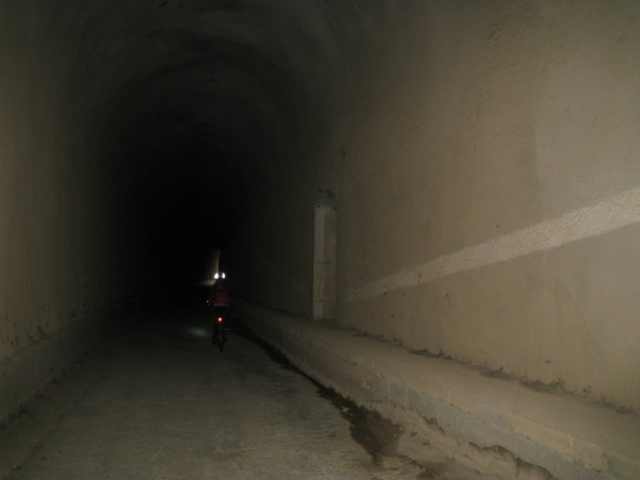
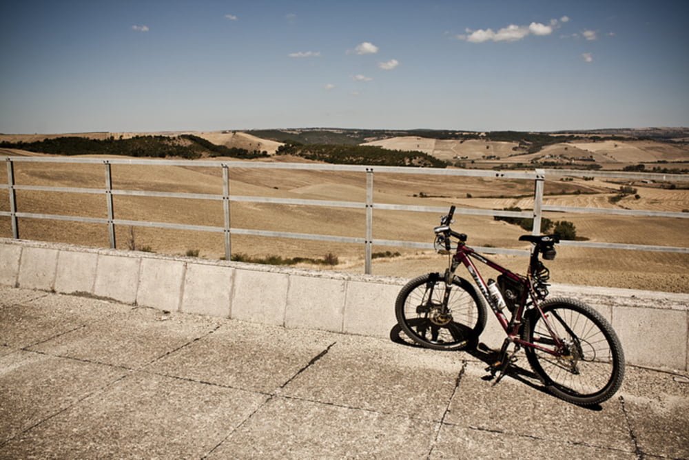
90% sterrato, necessita di luce per la presenza di gallerie pedalabili con attenzione,splendido giro sulla ex ferrovia, adeguatamente pedalabile con diversi e divertenti "ostacoli" da scavalcare. Raggiungibile in treno

Галерея маршрутов

Карта маршрута и высотный профиль

  • Open Street Map
  • Google
Minimum height 63 m Maximum height 481 m Детальный вид

More about the tour author

ShaRe78
Member since 2016

Send private message

Комментарии

Raggiungibile in treno, andata scendere a Capranica, ritorno salire a Civitavecchia


GPS-Tracks

Trackpoints
  • GPX / Garmin Map Source (gpx) download
  • TCX / Garmin Training Center® (tcx) download
  • CRS / Garmin Training Center® (crs) download
  • Google Earth (kml) download
  • G7ToWin (g7t) download
  • TTQV (trk) download
  • Overlay (ovl) download
  • Fugawi (txt) download
  • Kompass (DAV) Track (tk) download
  • Формуляр маршрута (pdf) download
  • Original file of the author (gpx) download

More about the tour author

ShaRe78
Member since 2016

Send private message
Share track
Add to my favorites
Remove from my favorites
Edit tags
My score
Rate
Маршрут: Capranica Civitavecchia
Вид: Горный велосипед
Длина: 49,8 km
Evaluated on:
Длительность:
Day(s)
Hour(s)
Minute(s)
Оценка: Ландшафт Веселье Кондиция Техника