Login

Забыл пароль?

Cookies have to be accepted!
Your browser's cookie functionality is disabled. Please enable this functionality.

Not a member yet?

Register now
Login

Available for registred users only

Log in to use this feature.

Забыл пароль?

Cookies have to be accepted!
Your browser's cookie functionality is disabled. Please enable this functionality.

Not a member yet?

Register now
Filter
Категории
Advanced filters
  • Длина (км)
  • Высотомер
Сохранить фильтр Reset filter

TrackRank

QRCode

Technical data

Длина44,8 km Высотомер1149 m Way down1177 m Длительность02:58 h:m Дата05.04.2016
Оценки Author Ландшафт Веселье Кондиция Техника

Статистика

295 Виды Оценки 41 Загрузки Среднее
Rate
  • Формуляр маршрута
  • Дорога
  • Загрузки

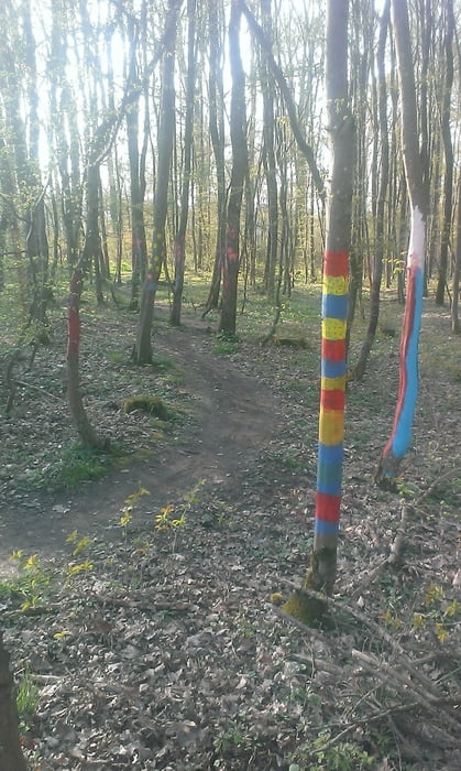
Nette Frühjahrstour mit einigen Trailabschnitten durch den westlichen Landkreis von Würzburgs Westen im stetigen auf und ab durch Wald, Flur und Stadt.


Карта маршрута и высотный профиль

  • Open Street Map
  • Google
Minimum height 194 m Maximum height 499 m Детальный вид

More about the tour author

kamrehn
Member since 2010

Send private message

Комментарии

GPS-Tracks

Trackpoints
  • GPX / Garmin Map Source (gpx) download
  • TCX / Garmin Training Center® (tcx) download
  • CRS / Garmin Training Center® (crs) download
  • Google Earth (kml) download
  • G7ToWin (g7t) download
  • TTQV (trk) download
  • Overlay (ovl) download
  • Fugawi (txt) download
  • Kompass (DAV) Track (tk) download
  • Формуляр маршрута (pdf) download
  • Original file of the author (gpx) download

More about the tour author

kamrehn
Member since 2010

Send private message
Share track
Add to my favorites
Remove from my favorites
Edit tags
My score
Rate
Маршрут: Im Westen nix Neues
Вид: Горный велосипед
Длина: 44,8 km
Evaluated on:
Длительность:
Day(s)
Hour(s)
Minute(s)
Оценка: Ландшафт Веселье Кондиция Техника