Login

Забыл пароль?

Cookies have to be accepted!
Your browser's cookie functionality is disabled. Please enable this functionality.

Not a member yet?

Register now
Login

Available for registred users only

Log in to use this feature.

Забыл пароль?

Cookies have to be accepted!
Your browser's cookie functionality is disabled. Please enable this functionality.

Not a member yet?

Register now
Filter
Категории
Advanced filters
  • Длина (км)
  • Высотомер
Сохранить фильтр Reset filter

TrackRank

QRCode

Technical data

Длина30,4 km Высотомер617 m Way down629 m Длительность04:00 h:m Дата11.04.2016
Оценки Author Ландшафт Веселье Кондиция Техника

Статистика

194 Виды Оценки 20 Загрузки Среднее
Rate
  • Формуляр маршрута
  • Дорога
  • Загрузки

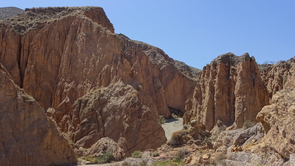
Saliendo desde Alhabia hacia Ragol usaba la caretera. Creo si la rambla del Andarax esta seca tambien se puede llegar a Ragol por ahí. Luego vienen ramblas secas pero bonitas hasta llegar a Alboloduy. Desde ahí esta todo verde de nuevo.


Галерея маршрутов

Карта маршрута и высотный профиль

  • Open Street Map
  • Google
Minimum height 264 m Maximum height 728 m Детальный вид

More about the tour author

frankhartmann68
Member since 2013

Send private message

Комментарии

GPS-Tracks

Trackpoints
  • GPX / Garmin Map Source (gpx) download
  • TCX / Garmin Training Center® (tcx) download
  • CRS / Garmin Training Center® (crs) download
  • Google Earth (kml) download
  • G7ToWin (g7t) download
  • TTQV (trk) download
  • Overlay (ovl) download
  • Fugawi (txt) download
  • Kompass (DAV) Track (tk) download
  • Формуляр маршрута (pdf) download
  • Original file of the author (gpx) download

More about the tour author

frankhartmann68
Member since 2013

Send private message
Share track
Add to my favorites
Remove from my favorites
Edit tags
My score
Rate
Маршрут: Alhabia-Ragol-Alboloduy-Alhabia
Вид: Горный велосипед
Длина: 30,4 km
Evaluated on:
Длительность:
Day(s)
Hour(s)
Minute(s)
Оценка: Ландшафт Веселье Кондиция Техника